The East End, An Coileachan.
23rd February 2026
A trip to the most Easterly of the hills within the Torridon avalanche forecast range today. Located North of Loch Fannich at its Eastern end. The main purposes to try and see what, if any wet snow had come down overnight.
There had been a small amount, which gave a dusting above around 850 metres, but it was all fairly wet and sticky. There were no real drifts, or any depth to it.
Tomorrow it goes even milder with freezing levels well above the summits, and the likelihood of some persistent rain at times, particularly tomorrow afternoon.
There is some uncertainty regards the amount of precipitation in the forecast. If the rain is significantly heavier than forecast, it may lead to an actual increased avalanche hazard level of Moderate, due to enhanced wet snow instabilities, particularly from midday onwards. As always, please see the forecast for more detail.
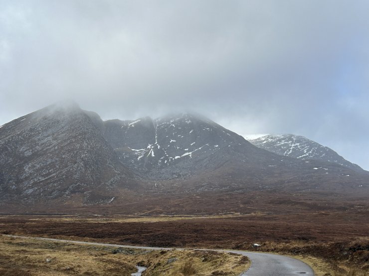
Garbh Choire Mor and An Eigin, with An Coileachan hiding behind.
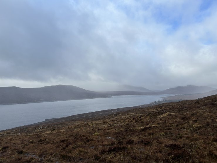
Looking across Loch Fannich to a murky Fionn Bheinn hidden in cloud.
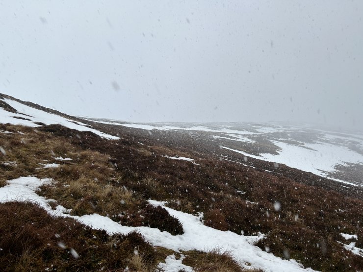
Wet snow shower at 800 metres.
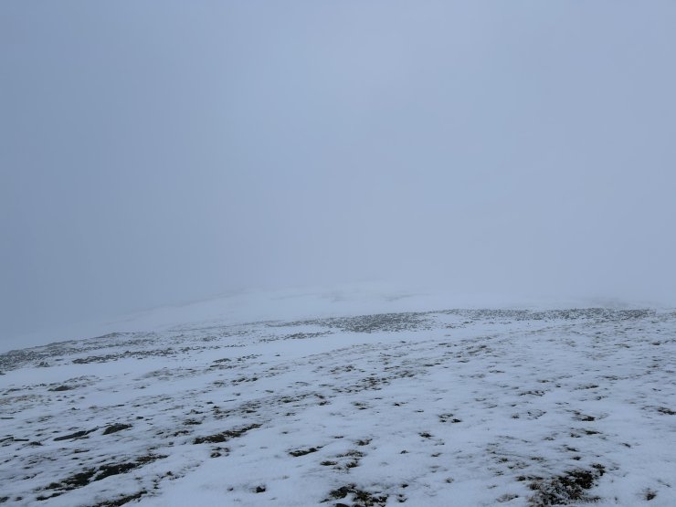
The ridge between An Coileachan and An Eigin, showing the recent wet snow from last night.
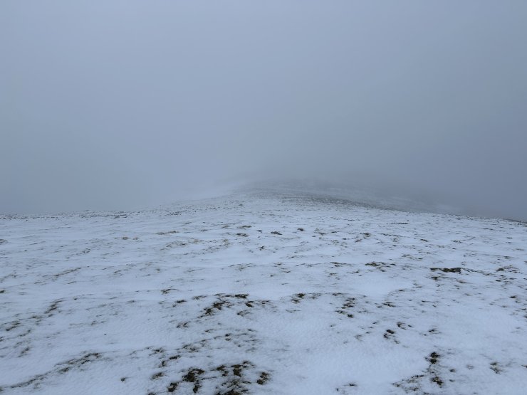
Looking back to An Coileachan Summit
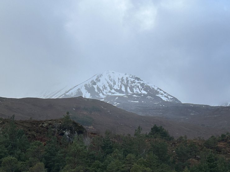
Creag Dubh above Kinlochewe
Comments on this post
Got something to say? Leave a comment


