Fannichs
4th February 2026
Poor visibility gave limited opportunities for photos today, apart from a brief glimpse of the hills south of Glen Torridon. The coastal hills will have had better visibility today, but observations were in the Fannichs due to this area seeing greatest precipitation.
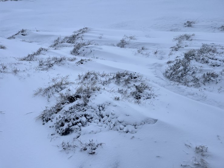
The amount of fresh snow lying on the ground was similar to that observed yesterday. Drifting snow was observed above 600 metres, and isolated fresh accumulations were being deposited in wind sheltered locations, primarily on South-West, West and North-West aspects.
There is due to be a brief rise in the freezing level overnight which will result in a reduction of the fresh snow lying at lower elevations. The freezing level will then drop to around 500 metres. The existing snowpack will be firm.
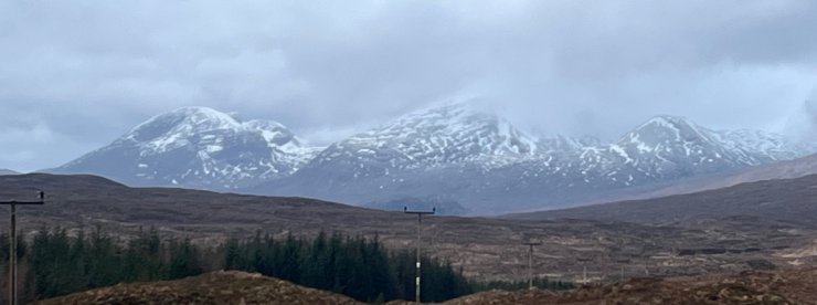
Fuar Tholl and Beinn Liath Mhòr.
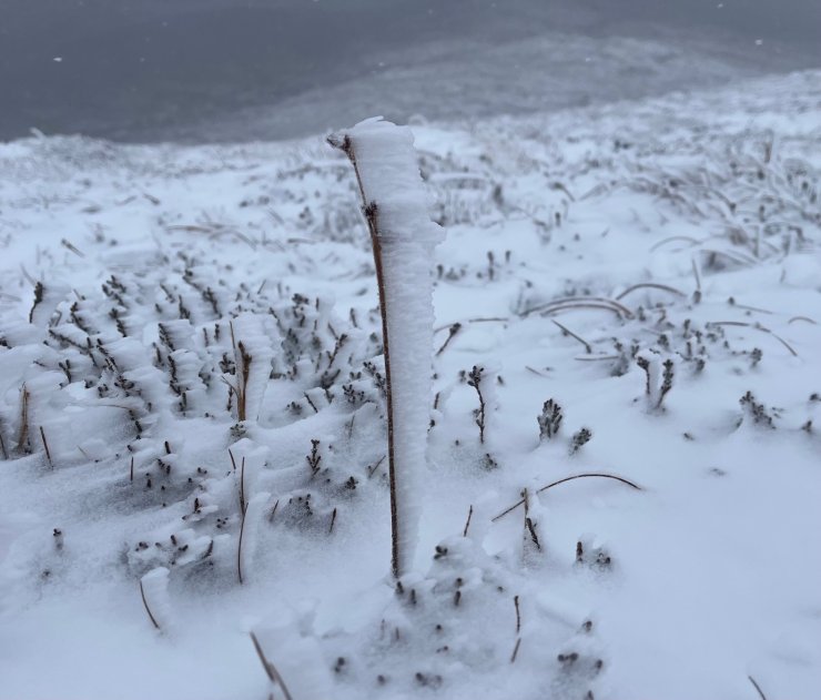
Rime continues to develop on rocks and blades of grass, pointing into the very strong Easterly winds.
Conditions today at 650 metres in the Fannichs. There wasn’t much to see above this height. Isolated fresh accumulations were building in wind sheltered locations.
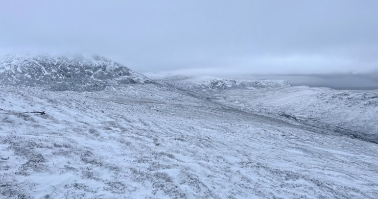
Looking across the shoulder of Beinn Liath Mhòr Fannaich towards Creag Raineach Mòr (639m).
Comments on this post
Got something to say? Leave a comment


