A Dusting of new snow
11th February 2026
The theme of low cloud and poor visibility continued in the East side of the Torridon region, further West in the Coastal Ranges there was intermittent clearings on the high tops. Precipitation overnight and into today has been light, with just a dusting of fresh snow across the Eastern Ranges in the Fannaich’s and Fisherfield Mountains. Mountains further West near Glen Torridon missed out on any fresh snow.
The freezing level dropped overnight to around 600m, so there has been some drifting of the fresh snow higher up. Notably into wind sheltered locations on South-West to North-West aspects. This drifting was localised and affected areas such as gully tops and corrie rims.
The wind backs to the North-East later on tomorrow, then into the North lowering the freezing level further.
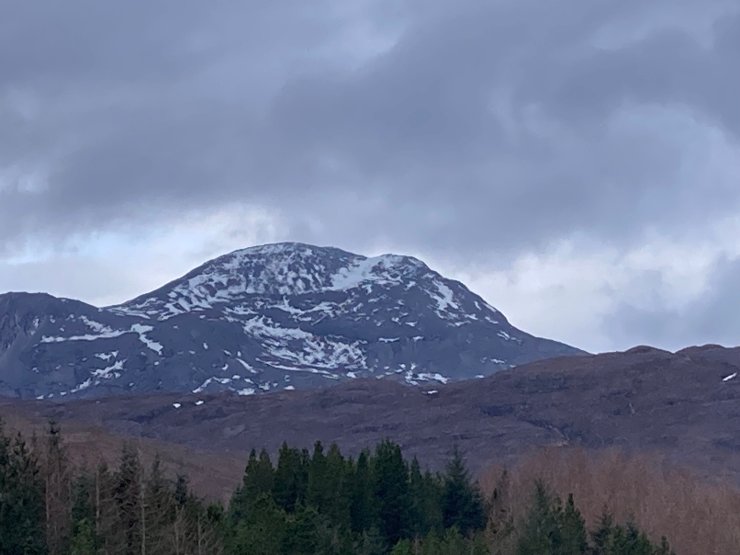
Photos below give a flavour of conditions on Fionn Bheinn today.
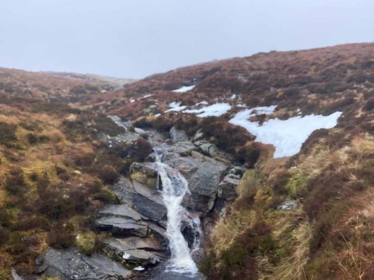
Old and very hard/icy snow patches as low as 500m on the South aspect of Fionn Beinn.
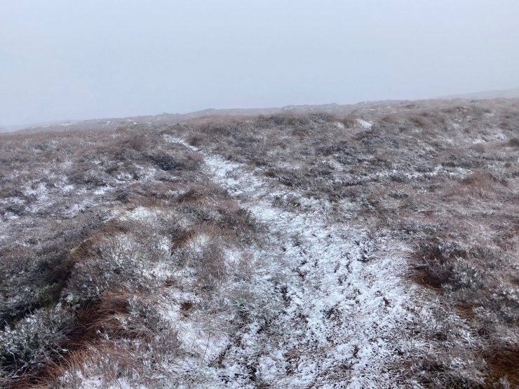
A dusting of snow above 600 meters.
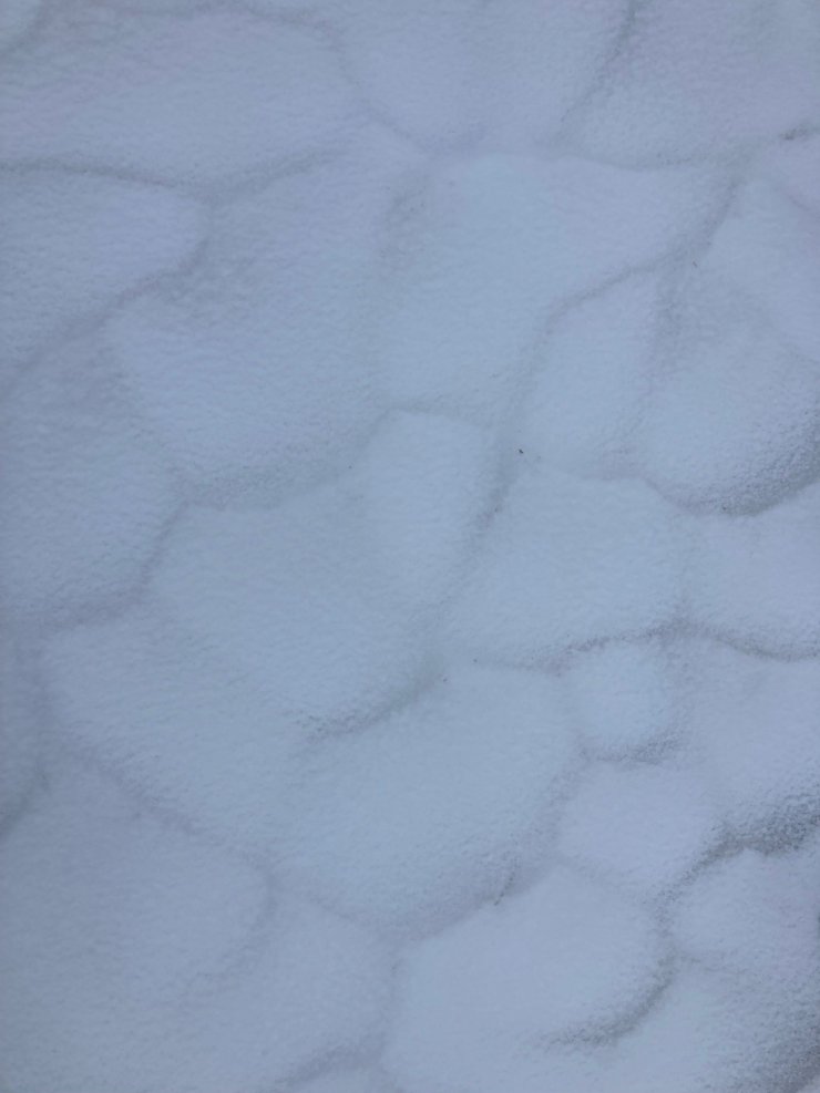
Scalloping effect on the surface of the old snowpack, highlighted with a micro dusting of fresh snow. The old snow is hard and icy, presenting a significant hazard on steeper terrain. Axe and crampons recommend for safe travel on the higher tops.
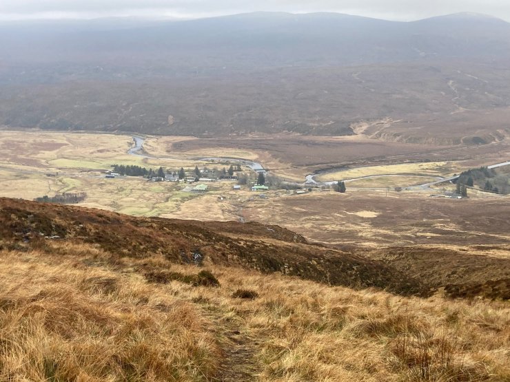
The cloud level was around 500m all day in the Eastern ranges. Dropping out of the clag and looking down to the tiny hamlet of Achnasheen.
Some of the Western summits cleared. Here looking up towards the South aspect of An Ruadh Stac (892m) Only hard, icy snow patches remain here.
Comments on this post
Got something to say? Leave a comment