Yet more new snow
5th January 2026
Overnight, a further 20cm of new (still air) snow fell at Kinlochewe. On top of the existing deep snow cover. Travel in any form is a challenge at the moment.
Greatest accumulations of existing unstable windslab lie on E through S to W aspects above 700m. At lower elevations deep, localised windslab deposits lie on sheltered slopes, especially on steep banks and along burn lines.
Overnight the wind is forecast to become strong South-Westerly, with further moderate or heavy snowfall. Unstable windslab will be deposited in wind sheltered areas, now on N through E to SE aspects above 700 metres. Existing weak windslab will remain on E through S to W aspects. With a rise in freezing level to around 500m, wet snow instabilities will develop at lower levels as rain affects the snowpack.
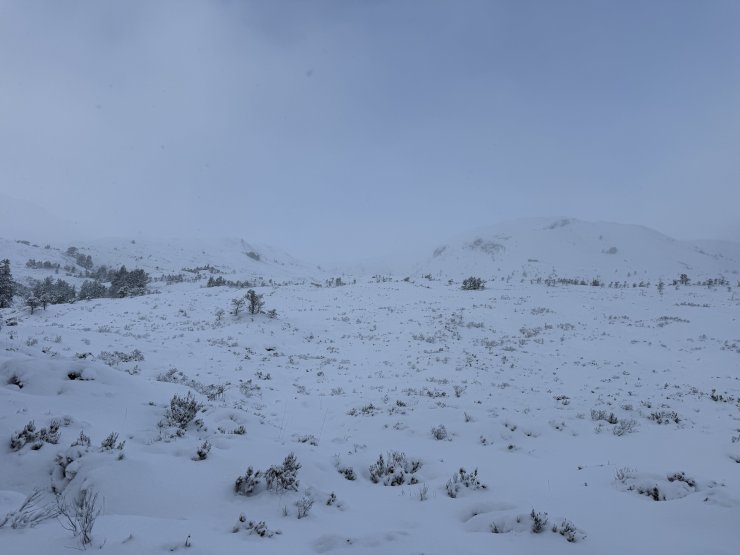
(Above) Deep snow at 20m asl.
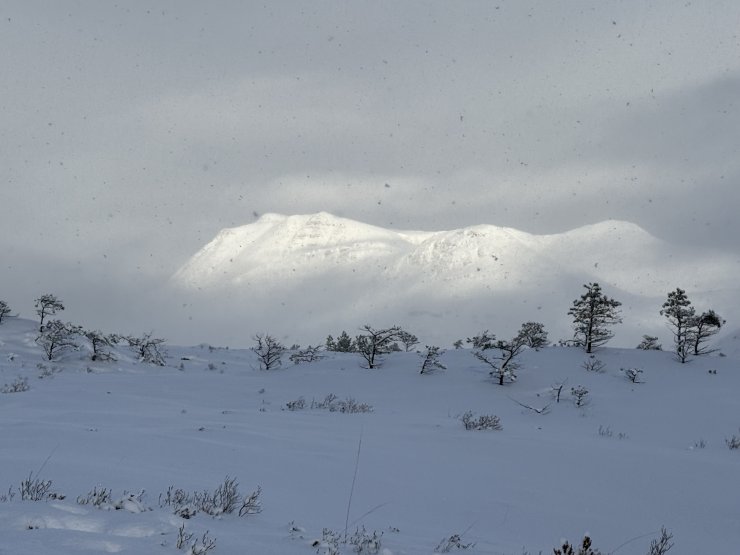
(Above) Slioch southern slopes (during a rare bright spell).
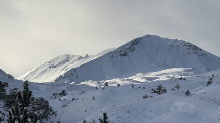
(Above) Sgurr nan Fhir Duibhe and Creag Dubh.
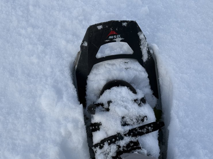
(Above) With deep snow at all levels snowshoes (or skis) are definitely the best modes of movement.
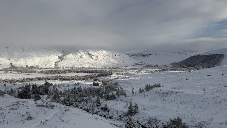
(Above) Kinlochewe.
Comments on this post
Got something to say? Leave a comment