Thaw at low levels
6th January 2026
It was a somewhat milder day, with the freezing level gradually rising to around 600m. Though it was a rather indistinct ‘level’ with what seemed to be cooler lower layers at times in the atmosphere. Rain fell in the glens, rather than snow as has been the case for several days, and below 400 metres the snow is stabilising in these milder conditions. At higher levels unstable windslab was deposited in wind sheltered areas, today mainly on North through East to South-East aspects.
Overnight and tomorrow the wind is expected to be mainly from the NNW, with further significant snowfall. This will deposit further accumulations of unstable windslab mainly on East through South to South-West aspects. This will be deposited on top of recent accumulations of windslab which still retains weaknesses.
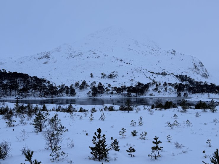
(Above) Sgurr Dubh NE slopes above Loch Clair.

(Above) The A896 between Kinlochewe and Torridon.
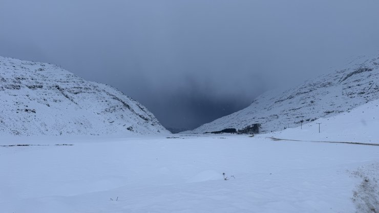
(Above) Glen Torridon.
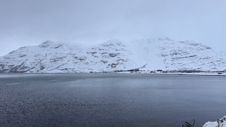
(Above) Mullach an Rathain Southern slopes across Upper Loch Torridon.
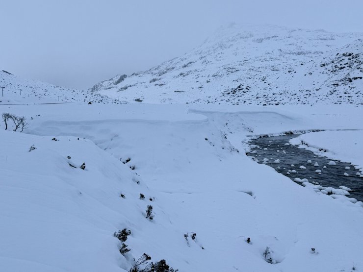
(Above) ‘Cornices’ formed at the top of a steep bank at about 50m asl.

(Above) Creag Dubh ENE face.
Comments on this post
Got something to say? Leave a comment