Snow cover becoming more widespread and deeper.
3rd January 2026
Continual Northerlies with sometimes heavy snowfall, has gradually built up the accumulations of snow from a dusting on the 1st January to significantly deeper accumulations three days later! This is noticeable away from the coastal mountains and into the more easterly hills such as the Fannichs. Generally SE to SW facing slopes have the greater accumulations with any aspects that face North being mostly wind scoured. Travelling on foot is becoming very tiring in the deep snow, often waist deep in places at 350 metres elevation so progress is extremely slow. As shown in the photos below on Fionn Bhein ski tourers taking advantage of the snowy conditions.
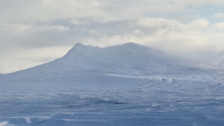
Carn Beag and Beinn na Fuesaige
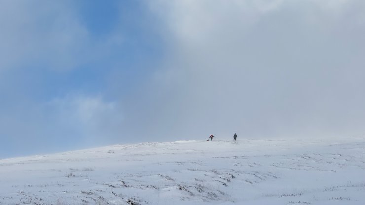
Looking up the lower slopes of Fionn Bhein at ski tourers during a rare clear spell
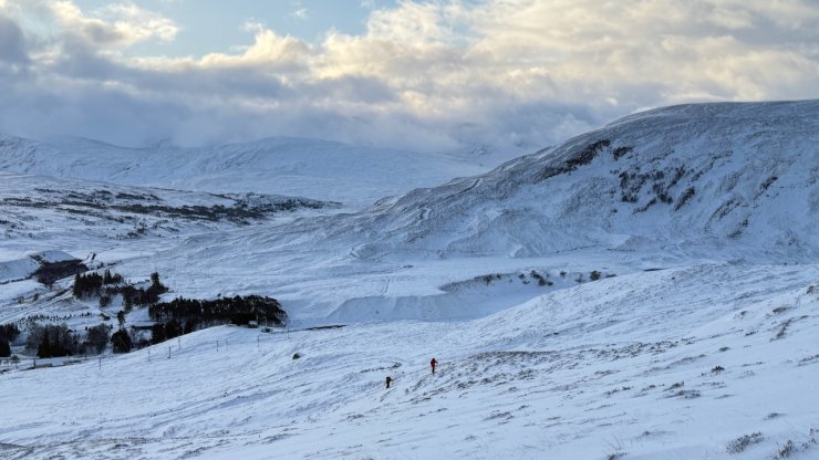
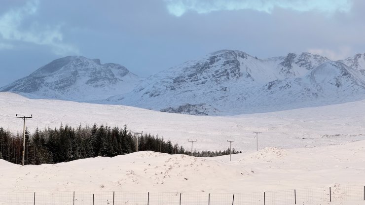
looking toward Achnasheen
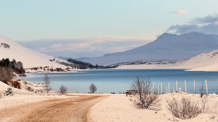
Approaching Loch a Chroisg
Looking West to the wind scoured North facing carries of Sgurr a Chaorachain
Comments on this post
Got something to say? Leave a comment