Slightly cooler
22nd January 2026
A poor day for the photographs unfortunately. The forecast was fairly accurate and we had very strong to gale force South-Easterly winds. The freezing level went above the summits overnight then dropped to around 900 metres for most of the day. During the morning the rain radar suggested that there were some localised showers, particularly over the Beinn Eighe range so I suspect there might be a little bit of fresh snow which I couldn’t confirm due to the poor visibility. (see report for more details)
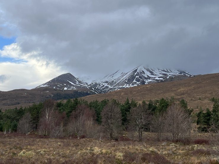
(Above) Snow cover and cloud level on Creag Dhubh.
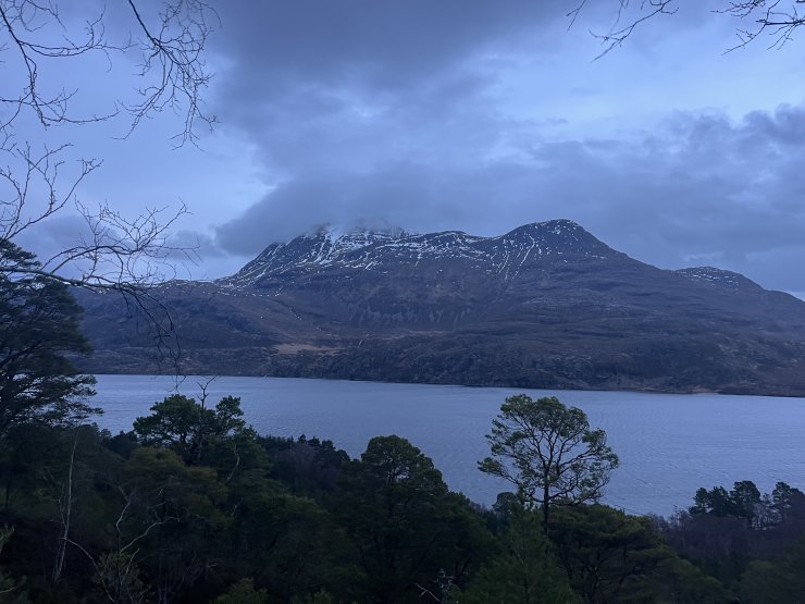
(Above) Slioch
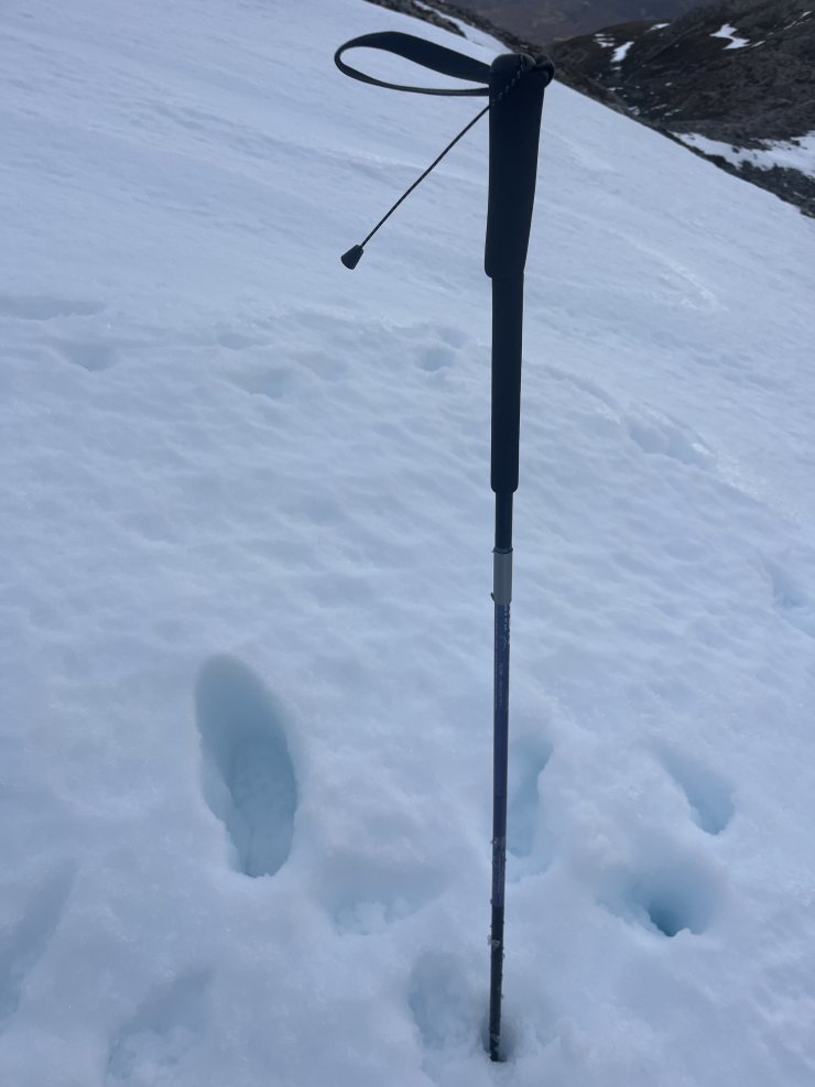
(Above) Very wet snow made for difficult trail breaking.
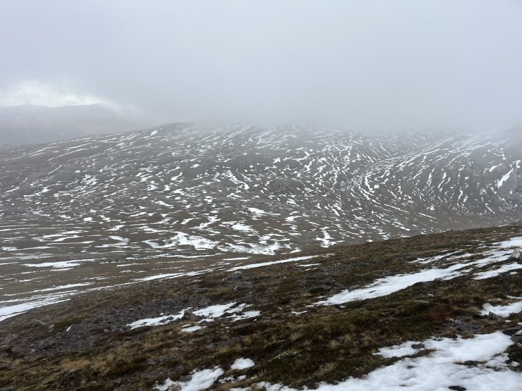
(Above) Patchy snow cover, looking towards the North-East flank of Ruadh-stac Beag.
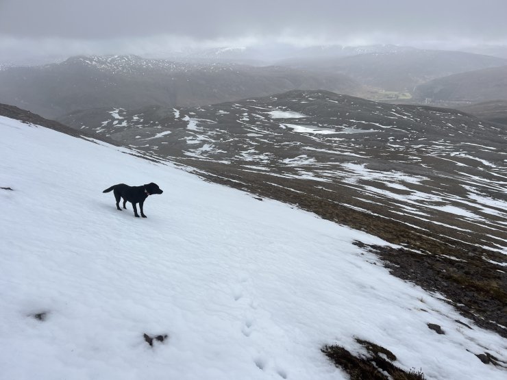
(Above) Patchy snow cover at around 600 metres.
Comments on this post
Got something to say? Leave a comment