More avalanche debris from Sunday
15th January 2026
It was another day of low cloud and poor visibility in the mountains.
I had noticed a brown streak on Beinn Eighe on Monday but couldn’t see it well enough from the road as I was passing to know much about it so didn’t record it as an avalanche at that time. I headed up into Coire an Laoigh on Beinn Eighe today to investigate it further. While the start zone for the avalanche was in the cloud the deposition zone was clearly visible despite quite a bit of thawing since it happened – the bottom of the debris was at 500 metres altitude. The distance that it managed to travel across fairly shallow gradient terrain gives some idea as to it’s size (photo below).
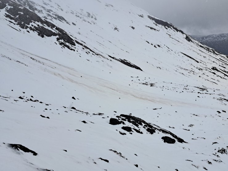
The slightly brown area is debris from an avalanche that probably happened on Sunday. It’s steeper to the left of this shot where the avalanche started but it ran an impressive distance on the fairly gentle gradient that can be seen in this photo.
As I then headed further up into the corrie (and the cloud) I spotted debris from another avalanche that wasn’t visible from the road. Much larger debris chunks in this avalanche. Again there’s been some thawing since it happened and it’s also been covered by a bit of fresh snow but the area of debris is still very obvious (photo below).
These avalanches, as well as several others on Sunday, were the result of a rapid warming and heavy rain. The snowpack prior to this warming wasn’t particularly unstable although was quite deep in many places.
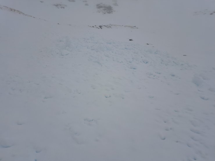
More debris from Sunday. Partly covered by fresh snow now. This photo taken at 730 metres on a North East aspect on Stuc Coire an Laoigh, Beinn Eighe.
While recording these avalanches I happened to notice that for the whole of Scotland there have been more avalanches recorded already this winter (50) than for the whole of last winter (42), which definitely says something about how poor last winter was. Looking at just the Torridon forecast area which includes the Fannichs and Fisherfield mountains there have been 10 times as many avalanches so far this winter than for the whole of last winter, although it’s not hard to beat last winter when there was only 1!
A slight warming last night has helped to consolidate the snowpack but unstable windslab persists and was continuing to develop today on the higher summits. The warming has also softened the crust and progress was slow and hard today particularly between 500 and 800 metres.
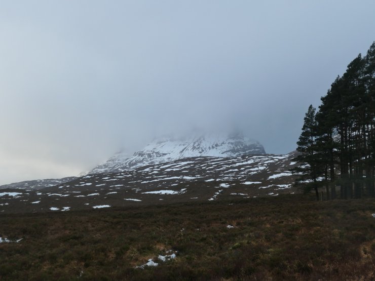
Liathach hiding in the clouds.
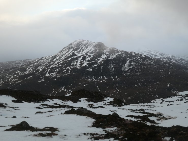
Sgurr Dubh, 782 metres, was the highest summit I saw today with everything higher obscure by cloud.
Comments on this post
Got something to say? Leave a comment


