Rain today, snow tomorrow
31st December 2025
Today was wet and windy. There was more precipitation than expected and unfortunately the summit snow didn’t happen it was rain at all levels. Visibility limited the photos today.
However tomorrow looks very different. Precipitation is forecast to turn to snow at most levels as the freezing level falls overnight. There will also be gale force North-Westerly winds on the summits giving blizzard conditions. New snow deposits will gradually start to gain depth mostly in wind sheltered locations on South-East aspects. Further significant snow to low levels and strong winds are forecast over the next few days. Expect rapidly changing conditions, check the avalanche hazard report daily as well as this blog. https://www.sais.gov.uk/torridon/
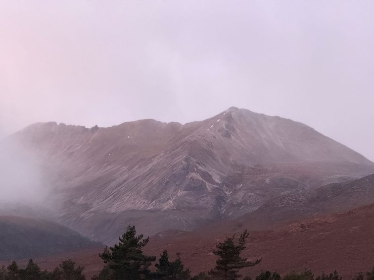
Creag Dhubh, Beinn Eighe (907m) on the right, Black Carls leading to Sgurr nan Fhir Duibhe (963m) on the left. Photo taken first thing this morning before the precipitation started. I had hoped to post a snowier picture from this afternoon but unfortunately the precipitation was all rain at all levels, that will have to wait till tomorrow.
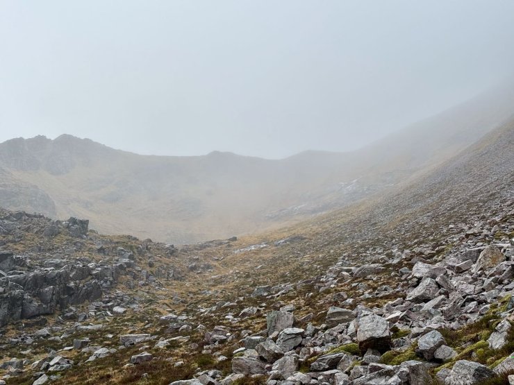
Coire an Laoigh, Spidean Coire nan Clach, Beinn Eighe. this was as good as visibility got today.
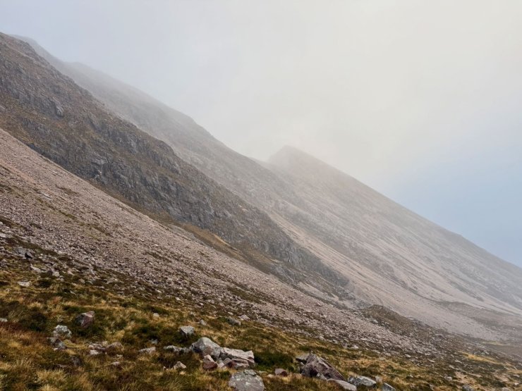
Sgurr nan Fhir Duibhe (963m), Beinn Eighe
Comments on this post
Got something to say? Leave a comment


