Mild start to 25/26 forecasting season
11th December 2025
A mild and wet start to the 2025/2026 forecasting season. Freezing levels have been above the summits for several days, and most of the snow from late November has long since melted. Any snow patches that remain near the highest summits are isolated, small and easily avoidable with the vast majority of the area snow free. No avalanche hazard reports for the Torridon area will be produced until conditions change, however this mountain conditions blog will be updated daily.
A trace of snow is possible on the very highest summits overnight Thursday as precipitation clears. A dry but cloudy morning will then follow before temperatures rise, southerly winds strengthen and rain at all levels returns on Friday afternoon. South-westerly airflow with generally mild, wet and windy weather is forecast to continue for the next few days. Photos today are from the Western end of our area near Beinn Alligin as there were very slightly brighter conditions here. Our Holyfuy weather station is now active on Fionn Bheinn at 925m. The temperature data can be viewed at https://holfuy.com/en/weather/1529.
Also as we enter our new forecasting season comments are always welcome using the comments box at the bottom of each blog.
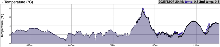
Temperaturre data from our weather station on Fionn Bheinn at 925m for the last 5 days. The temperature has remained above freezing at this height for the entire period.
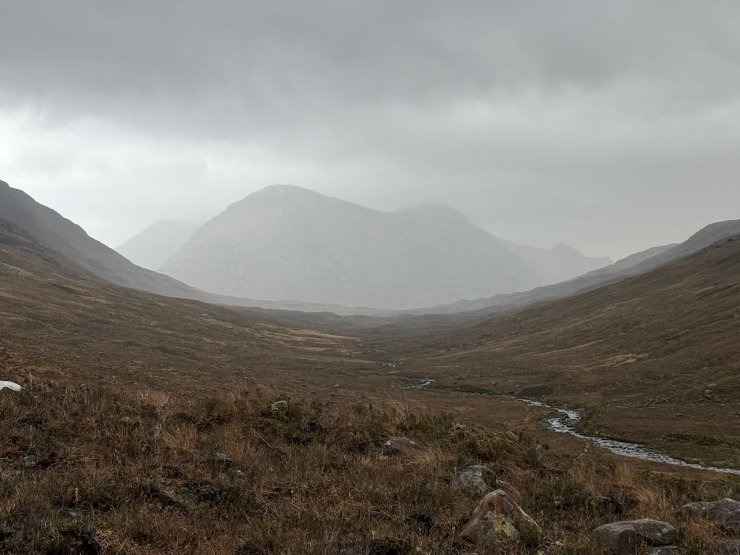
Liathach taken from near the west end.
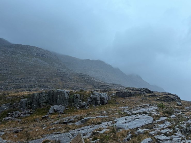
Western facing slopes of Sail Mhor 980m, Beinn Eighe.
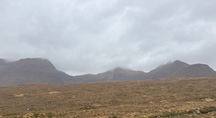
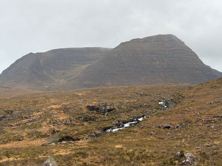
Beinn Alligin, Na Rathanan and the horns of Alligin (right) to Sgurr Mor 986m. and Tom na Gruagaich 922m (far left).
Tom na Graugacih 922m, Beinn Alligin
Comments on this post
Got something to say? Leave a comment


