Mild and windy
21st March 2025
Today was distinctly mild, with the freezing level well above all summits, and a strong South-Easterly wind.
As hopefully recent blogs will have shown, snow cover is very patchy and most remaining snow lies on permanently shaded areas, mainly on steep North-West to North-East aspects above 800 metres. Even here it is very limited and remaining patches will diminish significantly in the wet conditions expected tomorrow.
There will be insufficient snow for an avalanche hazard and no further avalanche reports will be published for Torridon unless conditions change. For further information please refer to this SAIS mountain blog, which will continue.

(Above) Beinn Eighe: Coire Domhain with Sgurr nan Fhir Duibhe (963m) behind and Creag Dhubh to the right.
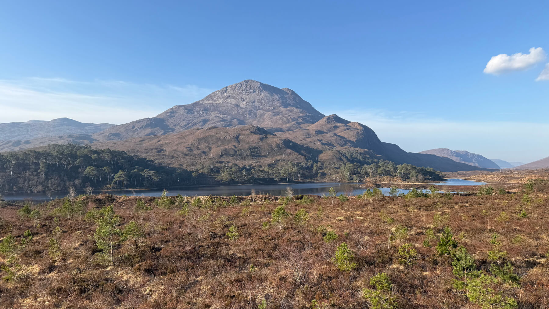
(Above) Sgorr Dubh (782m) across Loch Clair.
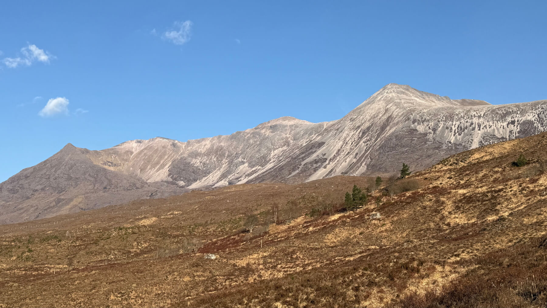
(Above) Beinn Eighe (left to right): Stuc Coire an Laoigh, Spidean Coire nan Clach, Sgurr Ban and Sgurr nan Fhir Duibhe.
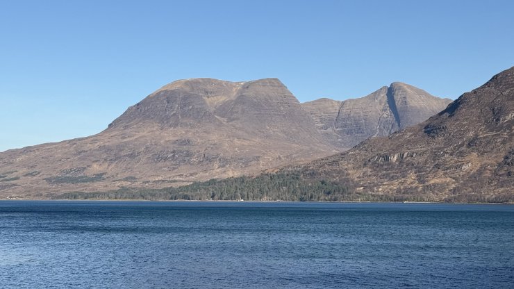
(Above) Beinn Alligin across Upper Loch Torridon.
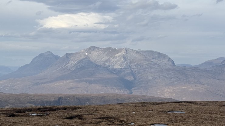
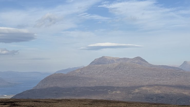
(Above) Liathach (left) and Beinn Eighe, from Carn a’ Ghlinne (539m) above Glen Docherty.
(Above) Slioch SE slopes.
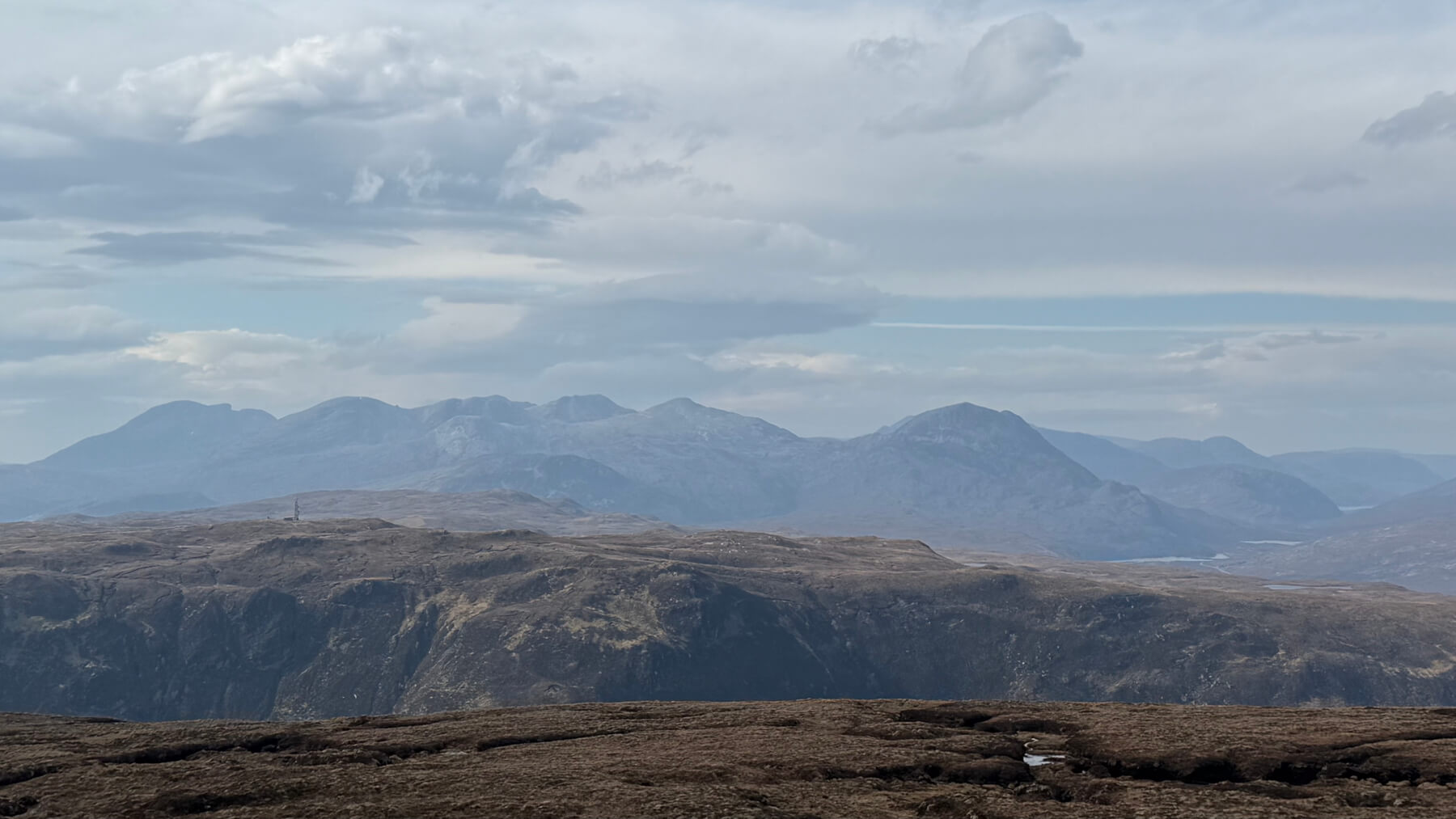
(Above) Coulin ‘Forest’ area between Glen Carron (left) and Torridon (right).
Comments on this post
Got something to say? Leave a comment


