Increasing Apricity
1st March 2025
First day of meteorological spring today and the warmth of the sun (apricity) was felt. But only in wind sheltered locations as there was quite a windchill otherwise. In the Fannaichs today, there is a thin covering of fresh snow above 800 metres with isolated and inconsequential pockets of shallow windslab on high steep terrain, mainly North to East aspects. The remnant patchy old snow is firm most notably around the higher summits.
Little change for tomorrow. High pressure conditions will prevail, largely dry and cloudy. A further frontal system expected to drift across our area Sunday night with a brief spell of sleet and snow on the highest summits. New snow is likely to be fleeting as it will generally be mild thereafter.
Below are a few general views of the snow cover in the north Fannaichs, albeit rather hazy!
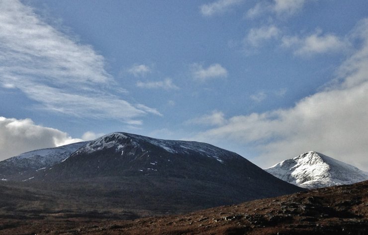
(Above) Beinn Liath Mhor Fannaich and Sgurr Mor on the right. The majority of snow is of old remnant patches on North to East aspects mainly above 750m. No snow below 700 metres.

(Above) The NW to E aspects of Coire Breac with Sgurr Breac on the left and Toman Coinnich on the right.
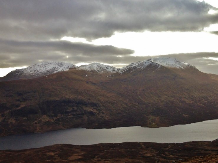
(Above) L to R; Sgurr Breac, Toman Coinnich and A’ Chailleach above Loch a’ Bhraoin.
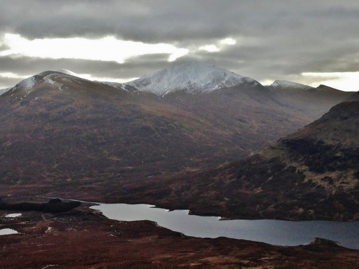
(Above) Centre is Sgurr nan Clach Geala with Meall a’ Chrasgaidh on the left and the snowy summit of Sgurr nan Each on the right
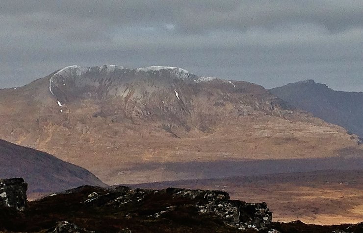
(Above) Strips of old snow lingering around the coire rim and ridge flanks on Beinn a’ Chlaidheimh, 914m. (pronounced ‘Ben a Clay’). Was a Munro, but downgraded a few years back. Technology; don’t you just love it…? No snow visible on Beinn Dearg Mor (910m)to the right.
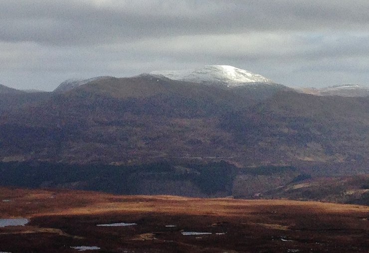
(Above) the monolithic peak of Beinn Dearg to the north of the Torridon forecast area.
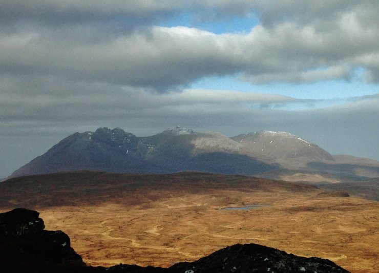
An Teallach, to the wsat of our forecast area. There is much less snow remaining on hills that are close to the coast.
Comments on this post
Got something to say? Leave a comment


