Destitution Road
18th March 2025
Very little change today in both the weather and snow cover compared to yesterday, although there was a bit more cloud on the more coastal mountains.
Check out yesterday’s blog for a closer look at the snow conditions in the more northern part of our forecast area.
Meall an-t-Sithe (Hill of the Fairies and pronounced ‘mull an shee’) was the location for today’s photos; a lovely 600m summit with views all round. It is a hill that overlooks the A832 on the Fain, also known as ‘Destitution Road’.
In the 1840s and 50s, during the Highland clearances, many tenant crofters/farmers were forcefully evicted from their homes by landowners to make way for sheep farming and those that could afford it, left for America, Canada, Australia, etc. In 1846-47, a potato famine struck, leaving those that were left behind, starving. They were ’employed’ to work with little or no purpose (an inane folly by some landowners), building roads and walls in the middle of nowhere in exchange for oatmeal rations. These were the ‘destitution roads’ and ‘famine walls’. The random walls on Beinn Dearg and Suilven are examples of such – a sad reminder of a blighted social history in the Highlands.
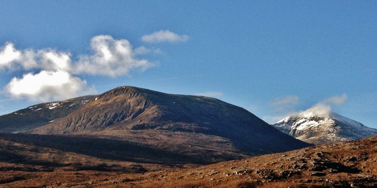
(Above) A more or less snowless Beinn Liath Mor Fannaich on the left and Sgurr Mor behind with little change in the snow cover from yesterday.
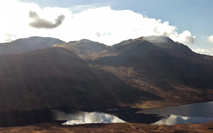
(Above) Sgurr Breac, Toman Coinnich and A’ Chailleach above Loch a’ Bhraoin.
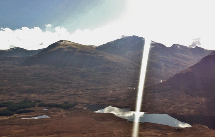
(Above) The venue for yesterday’s observations around Meall a’ Chrasgaidh and Sgurr nan Clach Geala. Not great photos looking directly into the sun! But we cannot complain, at least there is sun…
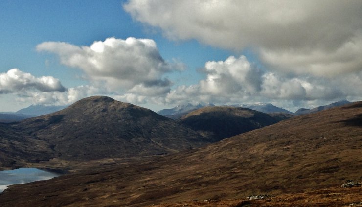
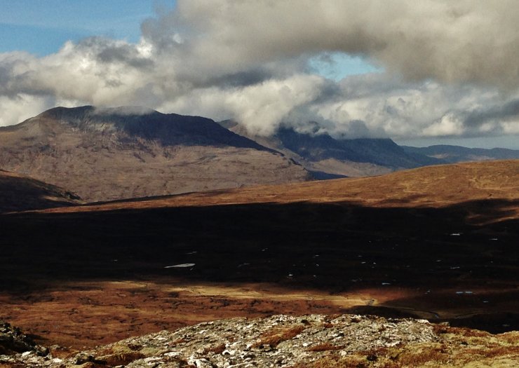
(Above) Looking SW from Meall an-t-Sithe to the Torridon mountains and Slioch on the far right.
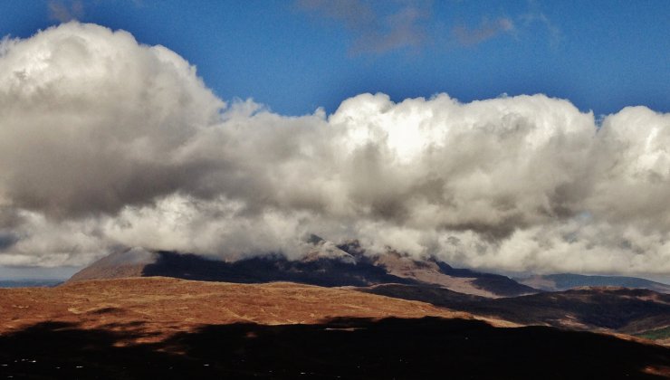
(Above) Cumulus clouds bubbling up over An Teallach late morning.
Similar pattern of clouds over Beinn a’ Chlaidheimh and Beinn Dearg Mor.
Comments on this post
Got something to say? Leave a comment


