Before the thaw
29th March 2025
An early start this morning gave a chance to see how much snow there was before the freezing level rose. Showers were initially snow above around 700 metres becoming more persistent and turning to rain at all levels as the freezing level rose through the afternoon. Winds were strong South-South-Westerly in the morning and became even stronger in the afternoon. Photos show the cover early today, there will be significantly less, if any snow left by tomorrow morning. As there will be minimal snow left and not enough to present an avalanche hazard no further avalanche reports will be produced for the Torridon area unless conditions change. This blog will be updated daily until 6th April this season.

Creag Dhubh, Beinn Eighe on the right, the ridge leading to the Black Carls and Sgurr nan Fhir Duibhe on the left.
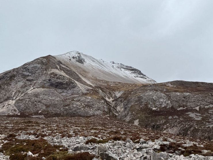
A closer look at Creag Dhubh, Beinn Eighe
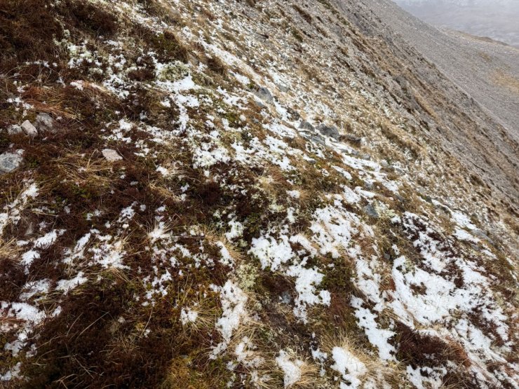
Very thin snow cover at 720 metres. I would expect bare ground here tomorrow.

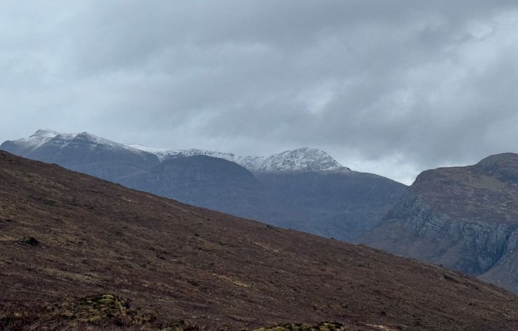
Meall a’Ghiuthais (887m) with snow on the summit
Slioch
Comments on this post
Got something to say? Leave a comment


