Trying to see the whole patch
27th February 2025
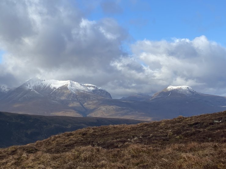
The idea today was to try and get a feel for the differences in snow level across the Torridon forecasting area. I went for a walk up to a viewpoint which is ideally placed to see the Torridon hills, the Fannich hills and the Achnashellach hills. Of course the weather didn’t play ball, and the Fannich’s stayed in cloud, but I did get a good idea regards snow level.
Not much change in the snow condition or amounts today, and Friday looks mainly dry. Looking ahead, overnight Friday, and into Saturday morning, a frontal system is forecast to bring rain, with snow at higher elevations on Gale force South-Westerly winds. Looking beyond the weekend it is likely that freezing levels will again go above the summits early next week.
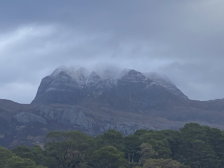
Slioch’s Westerly aspects.
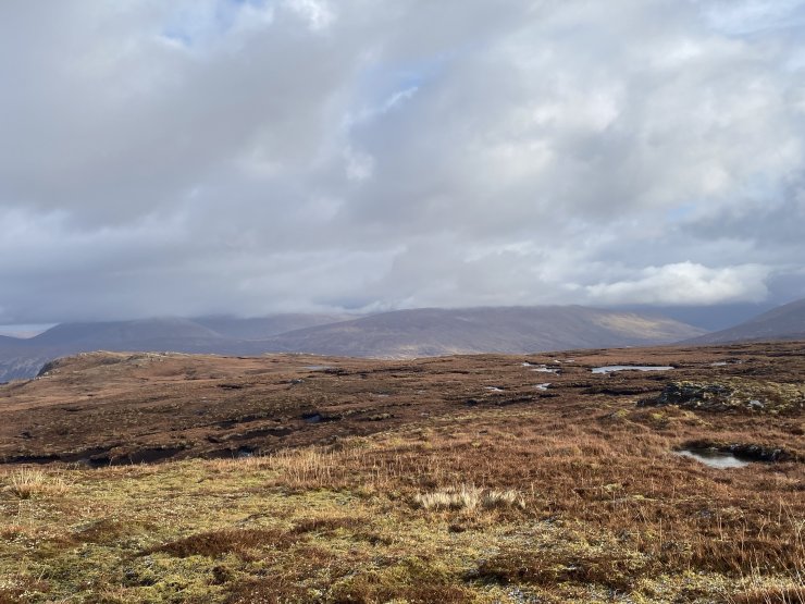
Looking towards the West side of the Fannich hills. Unfortunately not much to see. The cloud level is at around 700 metres.
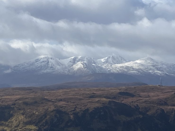
Looking towards the Northern aspects of the Achnashellach hills. These hills are on the Southern edge of our forecasting area. They do seem to have caught a little more snow than the Torridon hills.
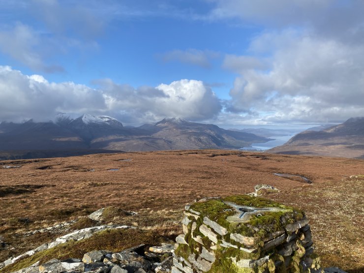
Looking down Loch Maree, with Creag Dhubh, and Meall a Ghiuthais on the left.
Creag Dhubh, and Meall a Ghiuthais.
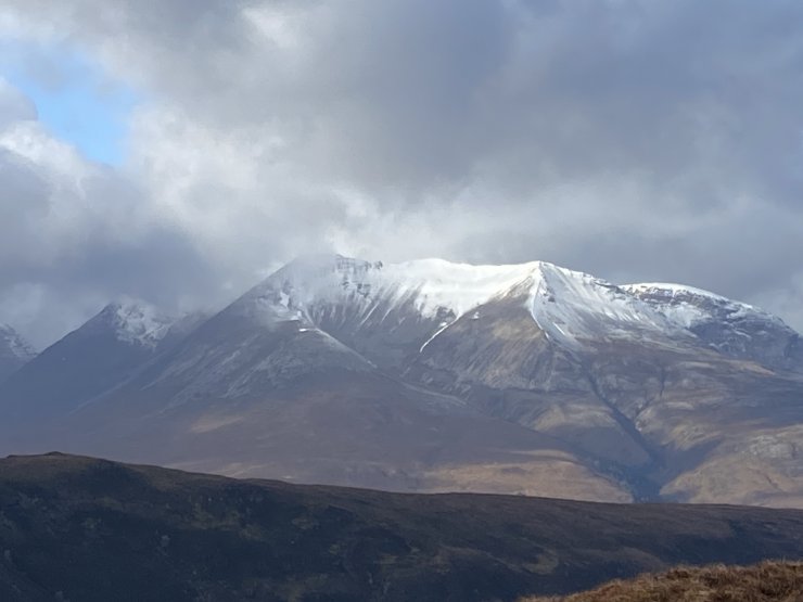
Creag Dhubh, the Eastern end of Beinn Eighe, looking nice and white, but the cover is really quite thin.
Comments on this post
Got something to say? Leave a comment


Mr Daniel J Arnold
28th February 2025 9:29 am
Is that trig point the top of Carn a Ghlinne- looks like a great vantage point!
torridonadmin
28th February 2025 12:30 pm
Yes, it is an excellent viewpoint to see most of the Torridon SAIS area. I think the only major hill you can’t see is Beinn Bhan in the West.