Groundhog day
24th February 2025
Starting out this morning seemed like groundhog day, heavy rain and Gale force winds. It did improve a little during the day, and become a bit drier, but in reality, there was little change from yesterday apart from the tops being a bit cooler. The sleet falling at summit level did not settle on the relatively warm ground. I was hoping for a more cosmetically white looking mountain but it didn’t happen.
However, some fresh snow expected over the summits during this evening and tomorrow, particularly on inland mountains, as the freezing level continues to creep lower down the hill. This will give some build up of snow, over the Fannichs and inland mountains most likely, with isolated patches of windslab developing. Please see the forecast for details.
It will be interesting to see how much the Torridon range gets in comparison.
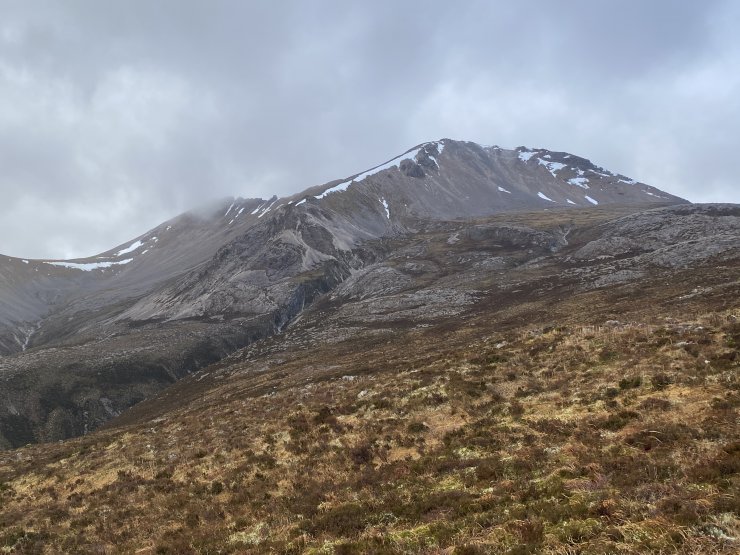
Creag Dhubh, with the Black Carls on the left in the distance.
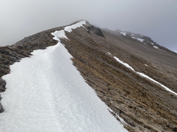
The East ridge of Creag Dhubh. A good example of snow collecting on a Coire rim, a wind sheltered steep location. Phrases that we often use in the forecast to describe where the greatest hazard may accumulate.
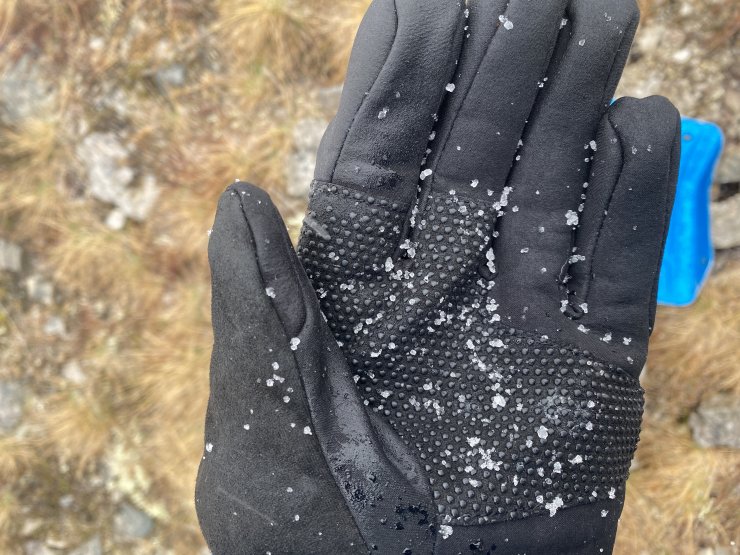
Sleet mixed in with rain today. At least its white !
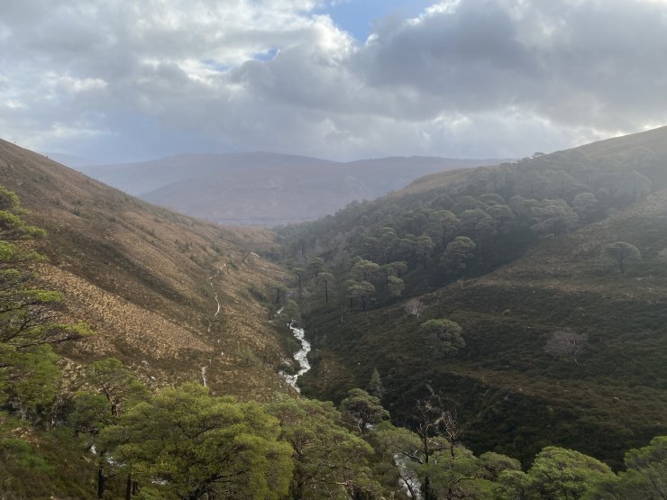
Looking down the Allt a Chuirn path. Note the Scots pine growth on the more sheltered lee side of the glen.
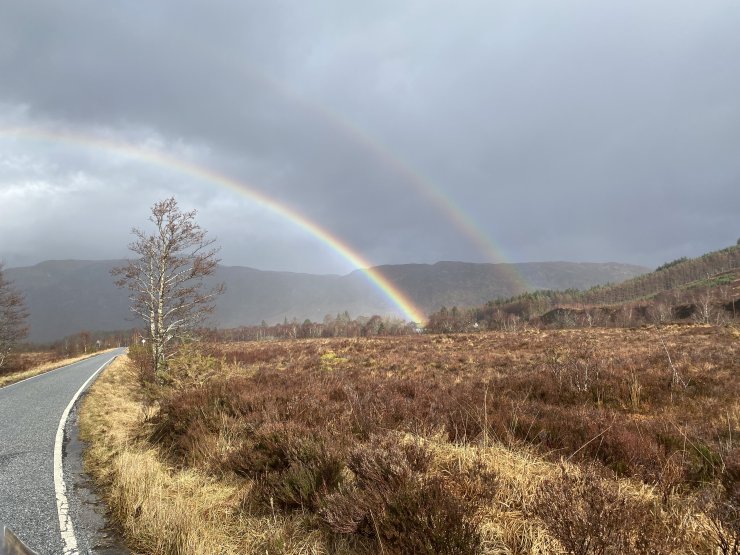
Silver linings and all that. Pretty.
Comments on this post
Got something to say? Leave a comment