Snow incoming, but will it land!
23rd January 2025
Storm Eowyn approaches and is forecast to bring around 10-15cm of fresh snow to the Torridon ranges, probably a little more inland towards the Fannichs, a little less on the coastal ranges. However, she is also coming with Storm force winds, which makes predicting how much snow we will actually get lying on the ground a little tricky.
The complication is that very Strong to Storm force winds also cause “ablation” or loss of snow. The winds pick the snow back up and due to the violent conditions and turmoil the wind creates, the snow in effect “vanishes”, or is absorbed back into the atmosphere, or gets blown into the valley and melts. What it can fail to do is build up in the mountains. Trying to forecast how much this effect will have is very difficult when the winds are so strong.
Whatever happens, tomorrow won’t be boring !
It was a beautiful morning again here in Torridon. We were forecast snow this afternoon but……..

Beinn Alligin from across Loch Torridon.

Liathach from across Loch Torridon.
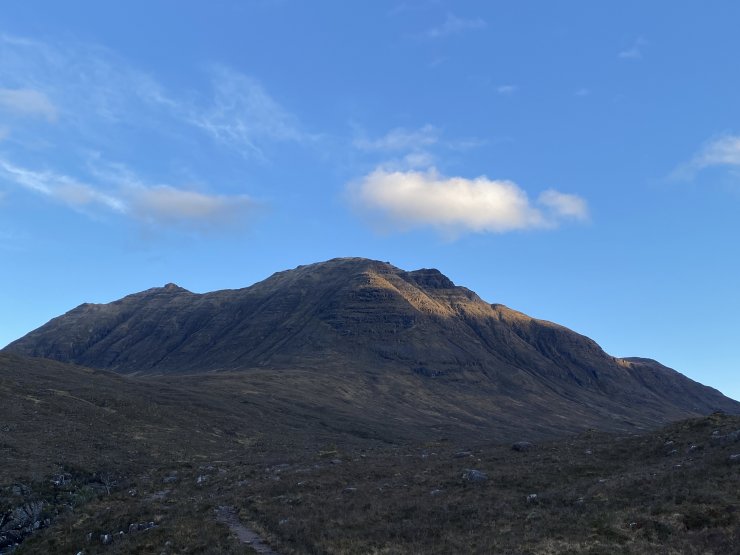
Beinn Dearg, from behind Liathach

Beinn Alligin from the East.
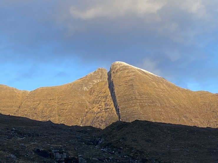
Sgurr Mor, Bienn Alligin.
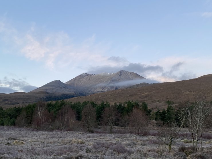
Sgurr nan Fhir Dubhe, at the East end of Beinn Eighe. No change here from yesterday.
Comments on this post
Got something to say? Leave a comment


