Lots of snow
7th January 2025
The Met Office forecast predicted up to 20cm of fresh snow in the Torridon area and it did not disappoint. It literally snowed most of the day with the occasional break, allowing views of the tops. There is a blanket of snow on all aspects literally down to sea level, but more continuous above around 200m. The concern is that all this fresh snow is drifting on strong North-Westerly winds and depositing on leeward aspects where the snow pack already holds multiple cold weather weaknesses.
Due to underfoot conditions and a persistent chesty cough I was only able to get to around 400m on the south side of Beinn Eighe this morning. (Thanks to Ollie and his team for breaking trail through the drifts!)
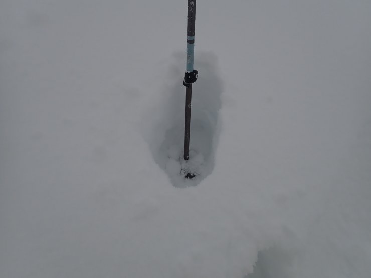
Mid-thigh deep drifts of fresh snow. This photo taken around 300m. Progress on foot is very slow….
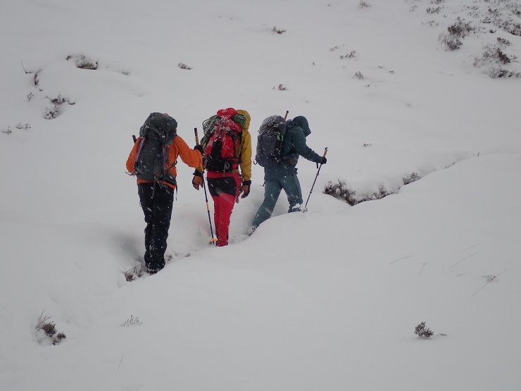
Ollie & his team breaking trail through the deep soft snow on a south aspect. Snow showers were persistent most of the day.
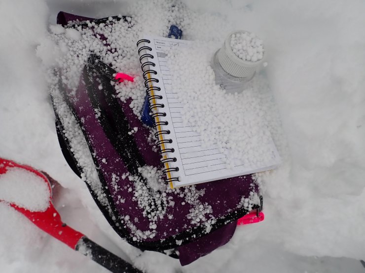
The snow profile site today was on a SE aspect around 400m. Graupel was present both within and on the surface of the snowpack. These ‘ball bearing’ like crystals provide the ideal conditions for a weak layer within the snow pack. This combined with the cold weather crystals observed yesterday, results in a very unstable picture. Particularly above 700m on East to South aspects where avalanches are likely and the forecast is a Considerable+
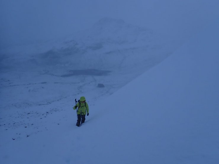
The snow profile location today on a SE aspect at 400m on Beinn Eighe. A view looking down into snowy Glen Torridon. (Photo Credit: Ollie Mentz)
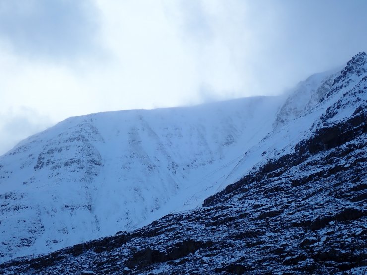
The western end of Liathach. A brief clearing between snow showers, drifting is notably across the summit ridge.
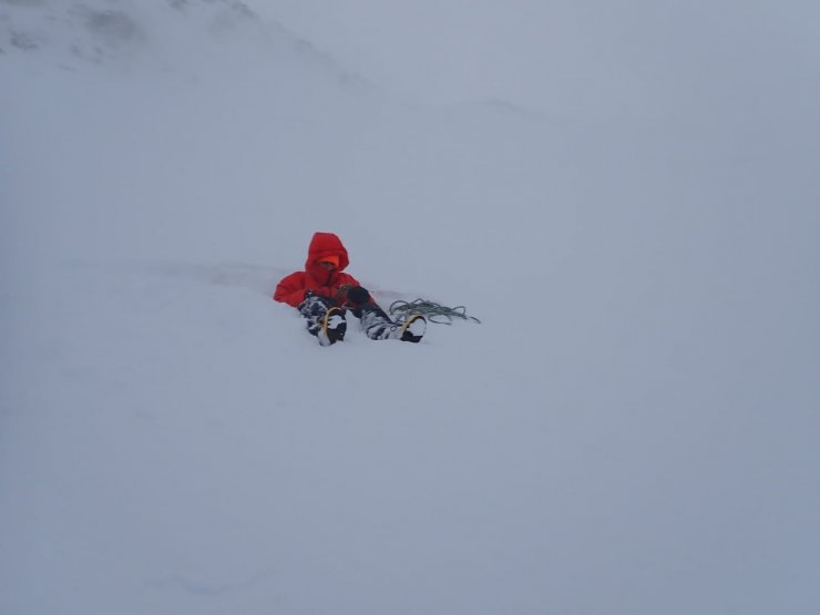
Coire an Laoigh around 600m – lots of snow! (Photo credit: Ollie Mentz)
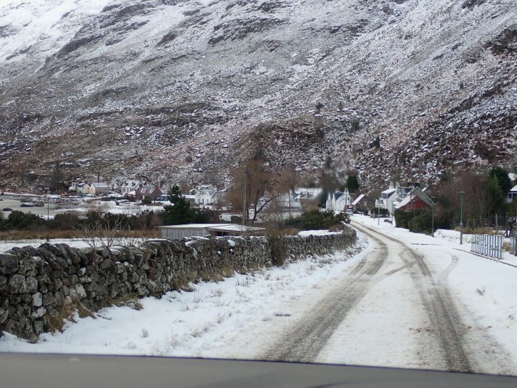
Snow down at sea level in Torridon village.
A further 20 cm of snow expected tomorrow and remaining cold. Milder weather arriving on Sunday.
Comments on this post
Got something to say? Leave a comment





John Lowther
7th January 2025 10:10 pm
Loving the reports and of course your blog Heather.
Have fun and thanks for all you’re efforts
Stay safe