Approaching Storm!
6th December 2024
After a bright start, thickening cloud from the SW ahead of storm Darradh brought some late light rain and summit snow crossed the area. There is a dusting of new snow above 700m, overlying areas of firm old snow.
Gale to Severe Gale winds accompanied by heavy snow is forecast overnight and tomorrow morning, turning to wintry showers throughout the afternoon. During the next 24hr period, there will be accumulations of fresh windslab building in lee aspects above 600m.
Check out the Avalanche Forecast pages on the SAIS website for details.
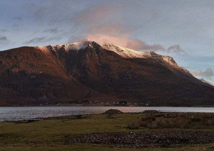
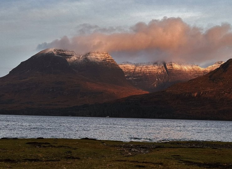
(Above 2 photos) A bright start this morning on Mullach an Rathain (Liathach) – Top, and Beinn Alligin – Bottom.
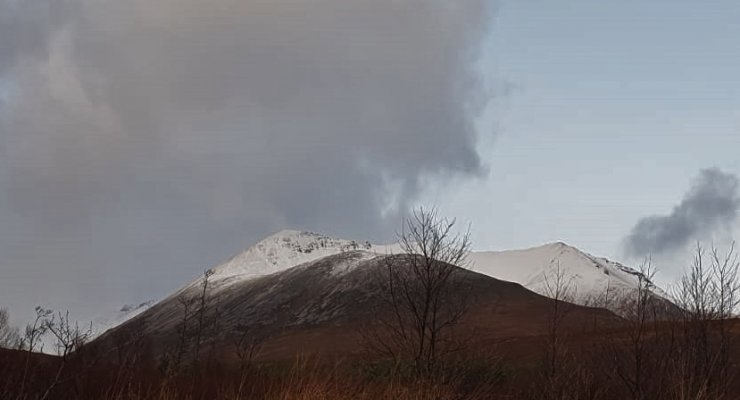
(Above) Fresh snow on the east end of Beinn Eighe.
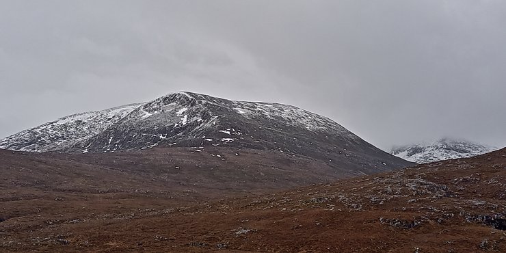
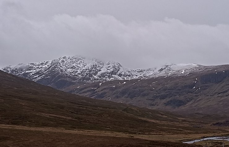
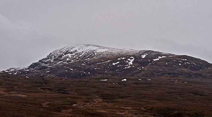
(Above 3 photos) By early afternoon, cloud was thickening over the Fannaich mountains with summit cloud on the more southern hills. Top to Botton; the north-west to east aspects of Beinn Liath Mhor Fannaich, Sgurr Breac and Meall a’ Chrasgaidh.
Comments on this post
Got something to say? Leave a comment


