Final blog of 23/24 season
13th April 2024
Today is the last day of the 23/24 forecasting season. A very warm, wet and windy morning meant there was limited views to see today. A couple of pictures show the water and wind, the main features of today followed by some pictures of the area taken over the last week showing the limited snow cover we currently have as the season ends. The largest areas remain around coire rims on North to East aspects above 800 metres on the most inland mountains in the forecast area. Many slopes and summits are largely snow free at the time of writing.
More snow is forecast overnight tonight and through tomorrow so expect to see some more snow on the hills tomorrow. However new snow deposits are not expected to be significant and in many cases will overlie bare ground. Snow will turn to rain below 900 metres by the end of tomorrow afternoon. Further snow is forecast Sunday night into Monday with the freezing level rising back to 1000 metres by the end of Monday. From Tuesday the weather is forecast to be cold but drier and sunnier with winds easing.
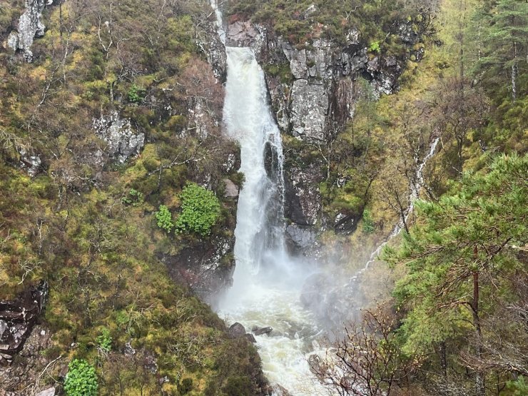
A waterfall in the Alt Coire Roll above Torridon village showing how much rain we had this morning.
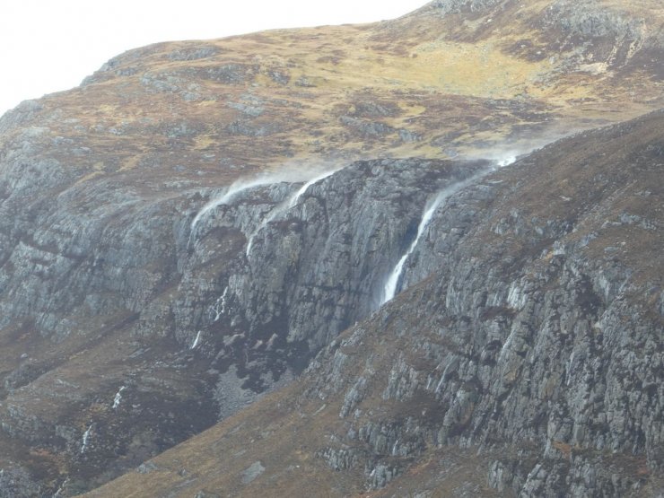
Waterfalls, at the South end of Loch Maree, blowing back uphill in the strong winds.
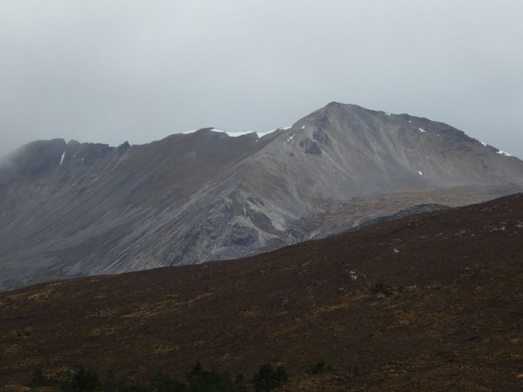
Taken during a break in the weather around midday today (13th April) .Creag Dhubh Beinn Eighe on the right with the Black Carls leading to Sgurr nan Fhir Duibhe on the left.
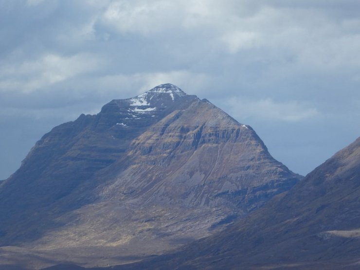
6th April. Liathach. The summit slopes of Spidean a Choire Leith now have significantly less snow than in this picture.
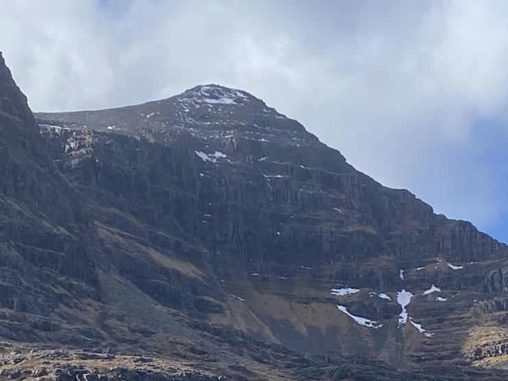
8th April Coireag Dubh Mor, Liathach
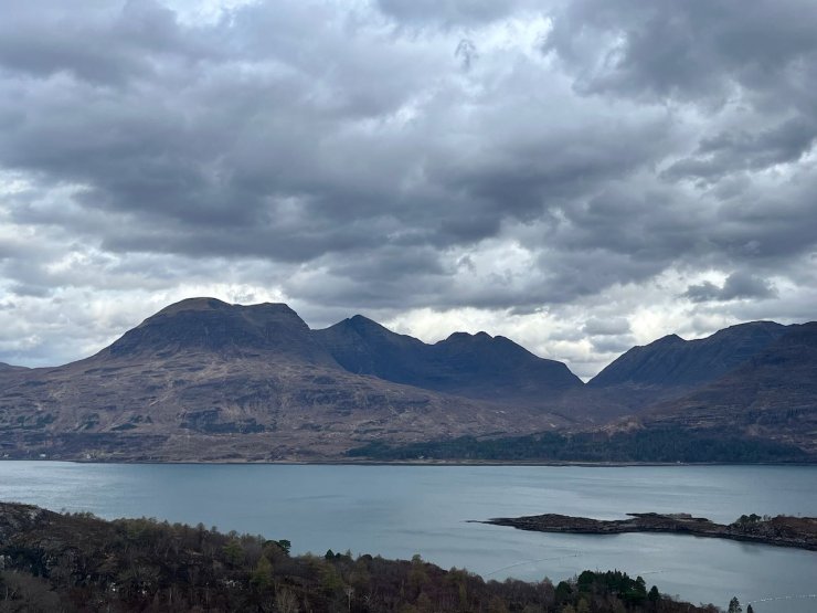
6 April. Beinn Alligin.
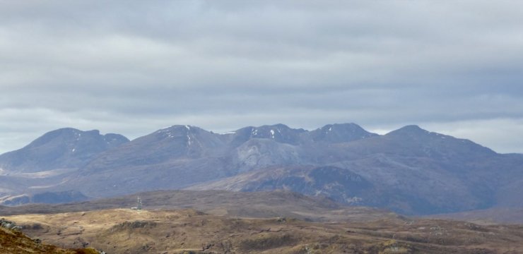
7th April, Beinn Liath Mor, on the South side of Glen Torridon
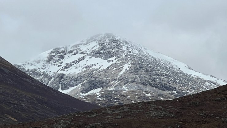
10 April, Sgurr Nan Clach Geala, the superficial dusting of new snow has now long gone and there is less old snow remaining.
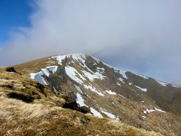
11 April North-East facing coire on Fionn Bheinn with limited snow while the South side is snow free.

11 April. The South side of the Fannichs.
Comments on this post
Got something to say? Leave a comment


Paul vanderfeesten
16th April 2024 2:59 pm
Thanks for all reports and the work. Nice info for our holiday region. Keep up the good work and stay safe. Greetings from the Netherlands.
Judi Hill
18th April 2024 2:43 pm
Many thanks for all your blogs – very useful – look forward to next season.
Enjoy your summer