Fionn Beinn
26th February 2024
Another outstanding day for a hill walk in the Torridon Area. There was significantly more fresh snow overnight than was forecast, we had expected between 2-3 cm, the reality was well over 10 cm and in some of the wind sheltered areas above 800m considerably more wind blown snow had accumulated. This meant hard going breaking trail higher up, but the views were well worth it. In good ‘Scottish Winter Style’ its all change again overnight and into tomorrow. The freezing level is expected to rise above the summits this evening, so much of the fresh snow at lower elevations will be lost. Then as the freezing level drops during the morning the snow showers arrive with potentially 10cm of new snow falling on a strong to gale force South-Westerly wind. It looks like not such a great day for the hill tomorrow….. The avalanche hazard will be moderate, check out the detail on the main forecast.
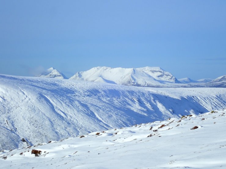
Looking West from Fionn Beinn across to the main Torridonian peaks of Beinn Eighe and Liathach (back left).
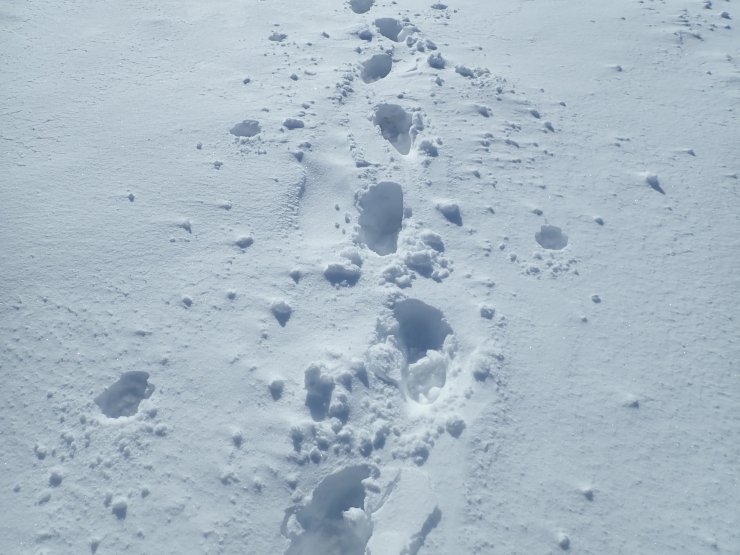
Plenty of fresh overnight snow on Southerly aspects today, in places knee deep where it had accumulated in small hollows and sheltered areas; made for slow going above 800 meters. This will all change tomorrow as the freezing level rises overnight, this fresh snow will diminish and any remaining that is dry/loose enough to wind transport will be redistributed onto North-Easterly aspects.
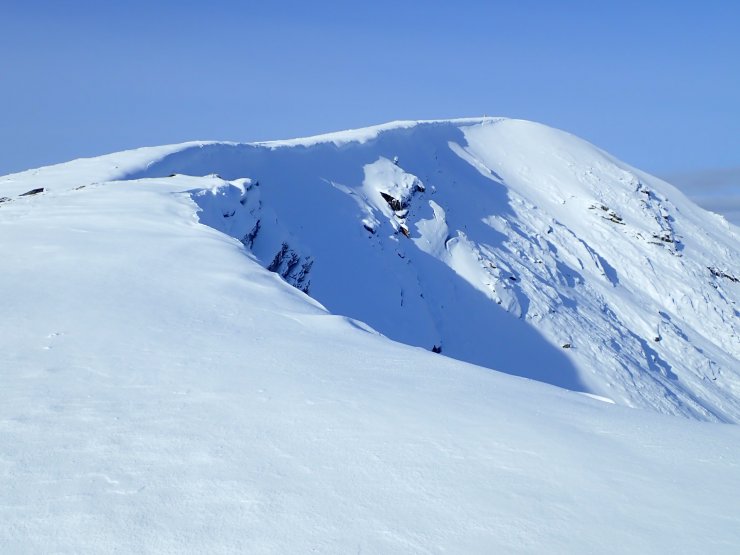
Looking towards the summit of Fionn Beinn. The NE facing corrie of Toll Mor to the RHS of the photo. There was some evidence of single point release avalanche debris in this corrie on aspects that were exposed to the sun. Fresh snow accumulations on the corrie edge here was up to a meter in depth.
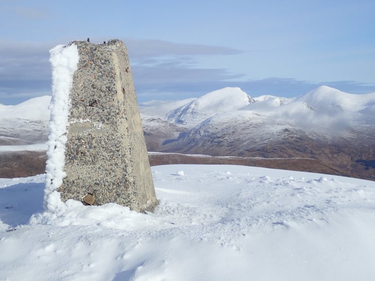
The summit trig of Fionn Beinn looking North into the Fannichs. The obvious square cut top of Sgurr nan Clach Geala obvious just right of the trig point.
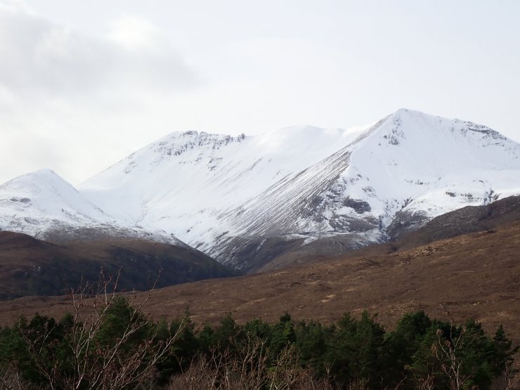
The South-Eastern end of Beinn Eighe.
Comments on this post
Got something to say? Leave a comment


