Blizzard conditions
19th January 2024
Gale force winds caused continual drifting of snow above around 500 metres and created very challenging conditions today. This only became more difficult during the showers which were fallings snow down to around 300 metres as I left the hill. The freezing level rose slightly later in the afternoon. Further snow turning to rain at most levels tomorrow will combine with gale force winds to again create very serious conditions. More details in the report.
Pictures show the snow cover today. Rising freezing levels and rain will cause a thaw particularly affecting the cover at lower levels.
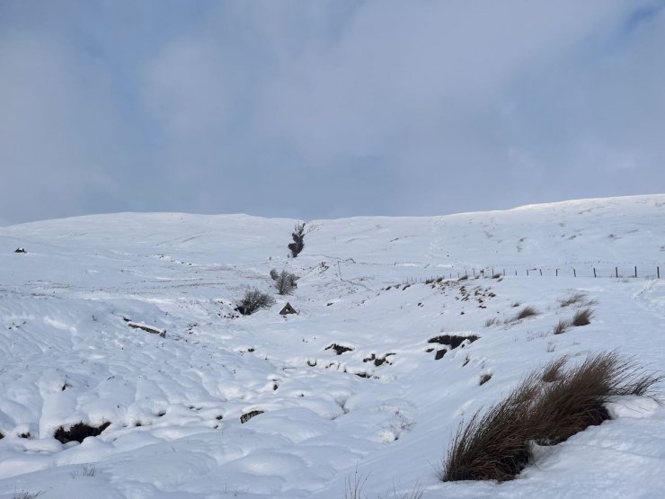
Snow to road level setting off up Fionn Bheinn.
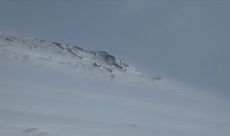
Drifting snow above 550 metres (lower during snow showers) made conditions very challenging.
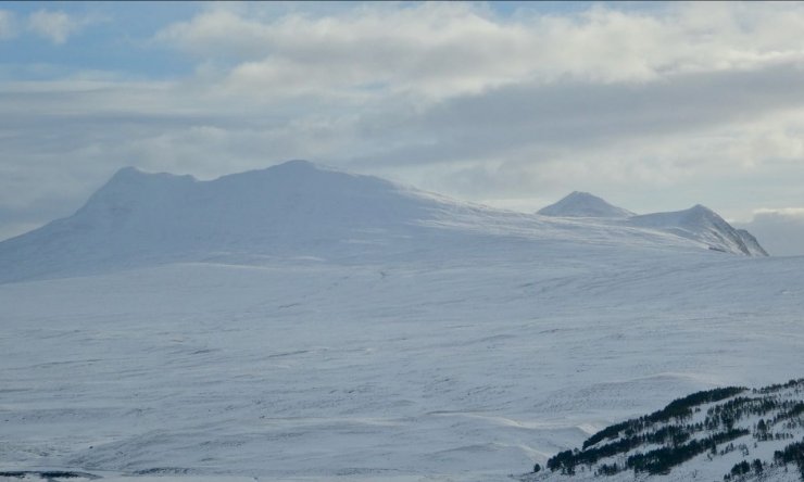
Looking to Sgurr a’Mhuilinn from Fionn Bheinn
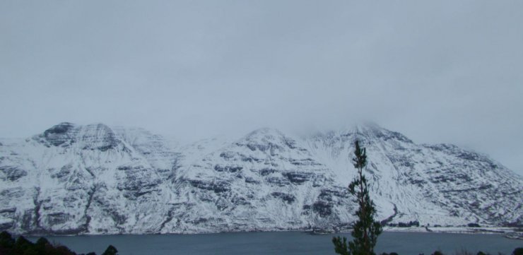
Looking across Loch Torridon to the west end of Liathach, Mullach an Rathian disappearing into the clouds on the right.
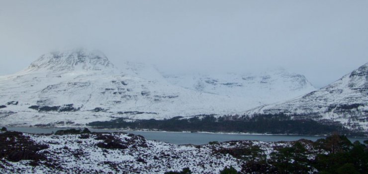
Looking across Loch Torridon to Beinn Alligin.
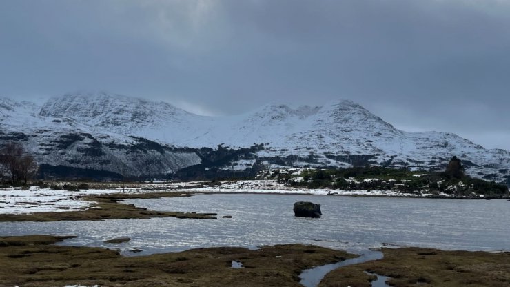
Sgurr na Bana-Mhoraire on the right with Beinn Damh with its peak in the clouds on the left.
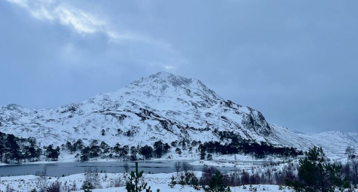
Sgurr Dubh on the South side of Glen Torridon with Loch Clair in the foreground.
Comments on this post
Got something to say? Leave a comment


