Winter Returns!
1st April 2022
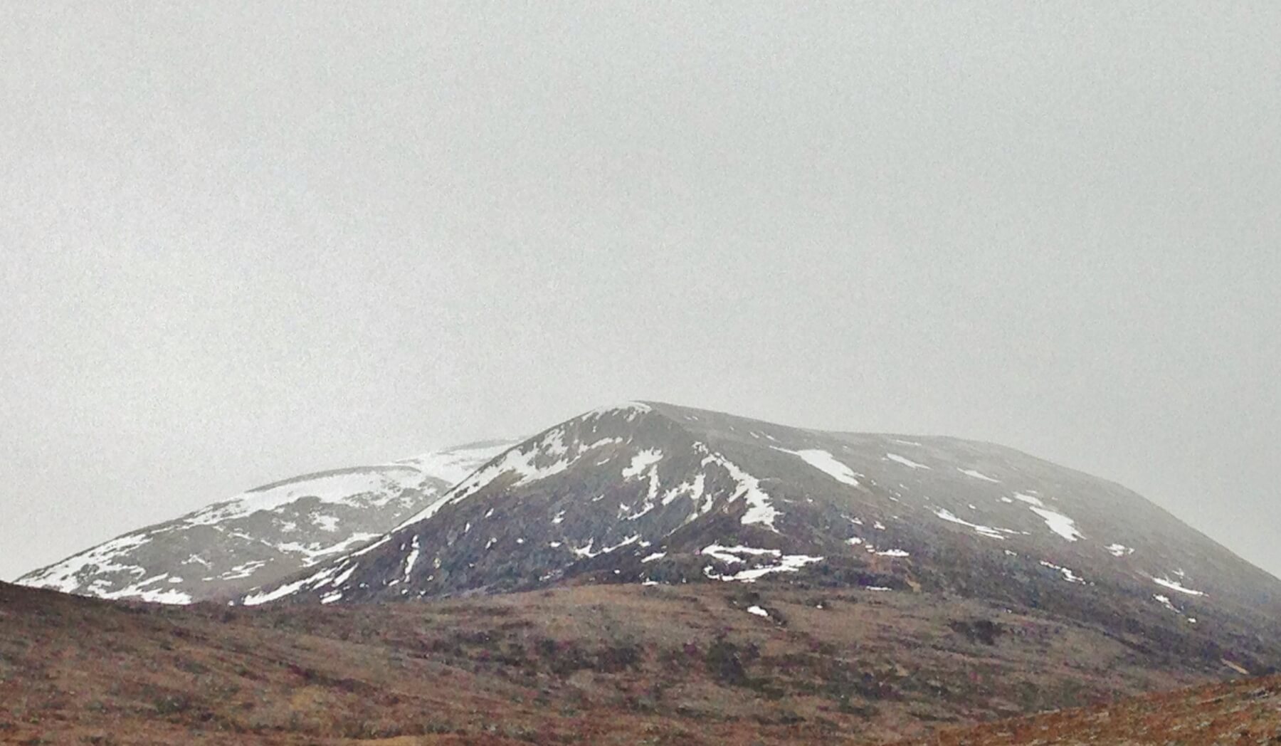
A band of heavy snow slowly crossed the area this morning, producing a general light covering of new snow at all levels with some deeper accumulations in wind sheltered locations, mainly on N to E aspects. Snow showers followed through the afternoon, with the occasional sunny spell. As the freezing level rose to around 500m. in the afternoon, the fresh snow thawed at lower levels. The old snow remains firm and well bonded. (Above) The snow arriving on Beinn Liath Mhor Fannaich at around 9.00am this morning. It was evident that there was little change to the snow cover overnight.
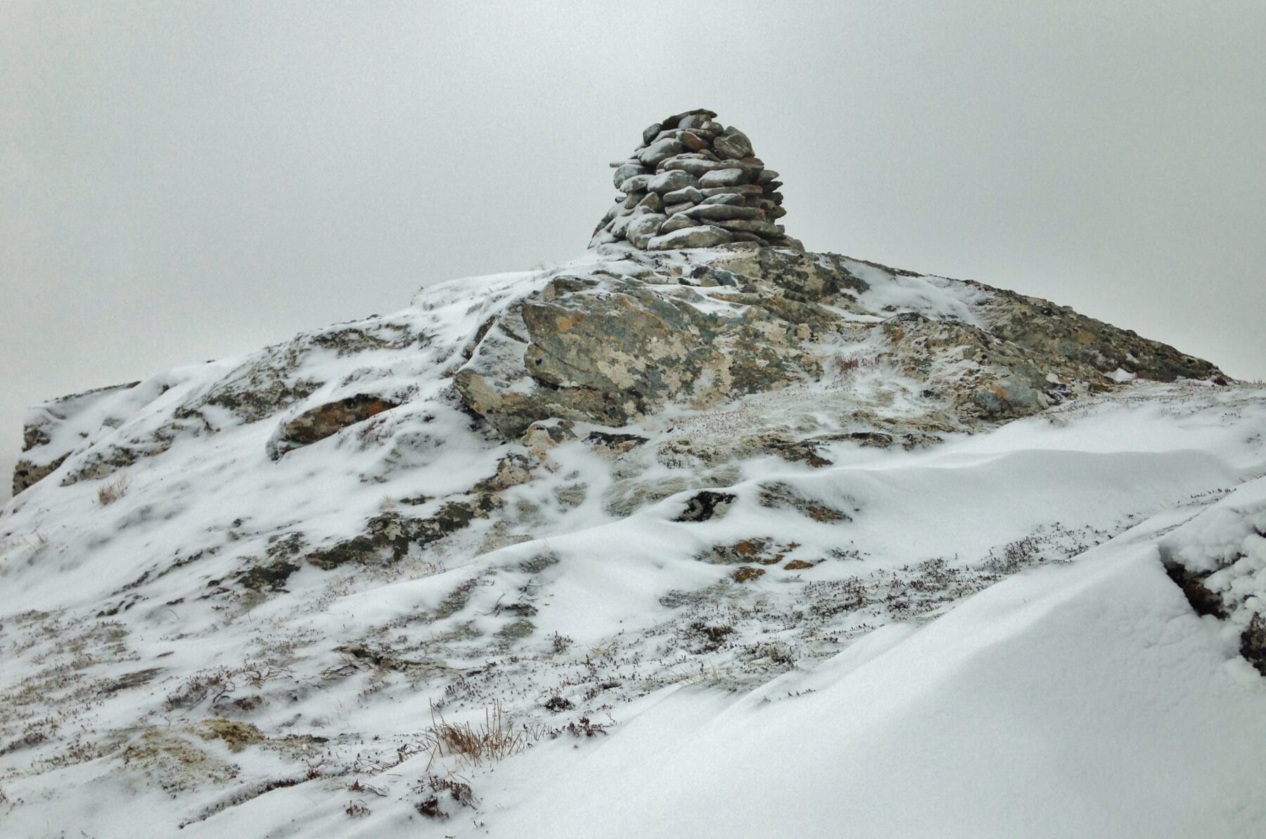
 (Above) By 11.00 am this morning, there was minor drifting of fresh snow onto this wind sheltered N aspect at around 600m. It was lying on bare ground but for the light dusting of snow from the previous 2 days.
 (Above) Looking across Loch a’ Bhraoin onto Sgurr Breac, Toman Coinnich and A’ Chailleach of the Fannaichs. By midday, the band of snow had drifted eastward and the hills briefly cleared. Isolated and shallow pockets of windslab will have formed on steep wind sheltered terrain, mainly above 700m.
Comments on this post
Got something to say? Leave a comment


