Very Wet and Windy
8th April 2021
Covid -19
The Scottish Avalanche Information Service issues information to support permitted activity under current Scottish Government guidance.
Please be aware of current mandatory travel restrictions in Local Authority areas within Scotland and respect local communities by referring to Scottish Government guidance and safe route choices for exercise. For further guidance please refer to the following information for hillwalkers and climbers and snowsports on ski and board.
This blog is intended to provide hazard and mountain condition information to help plan safer mountain trips.
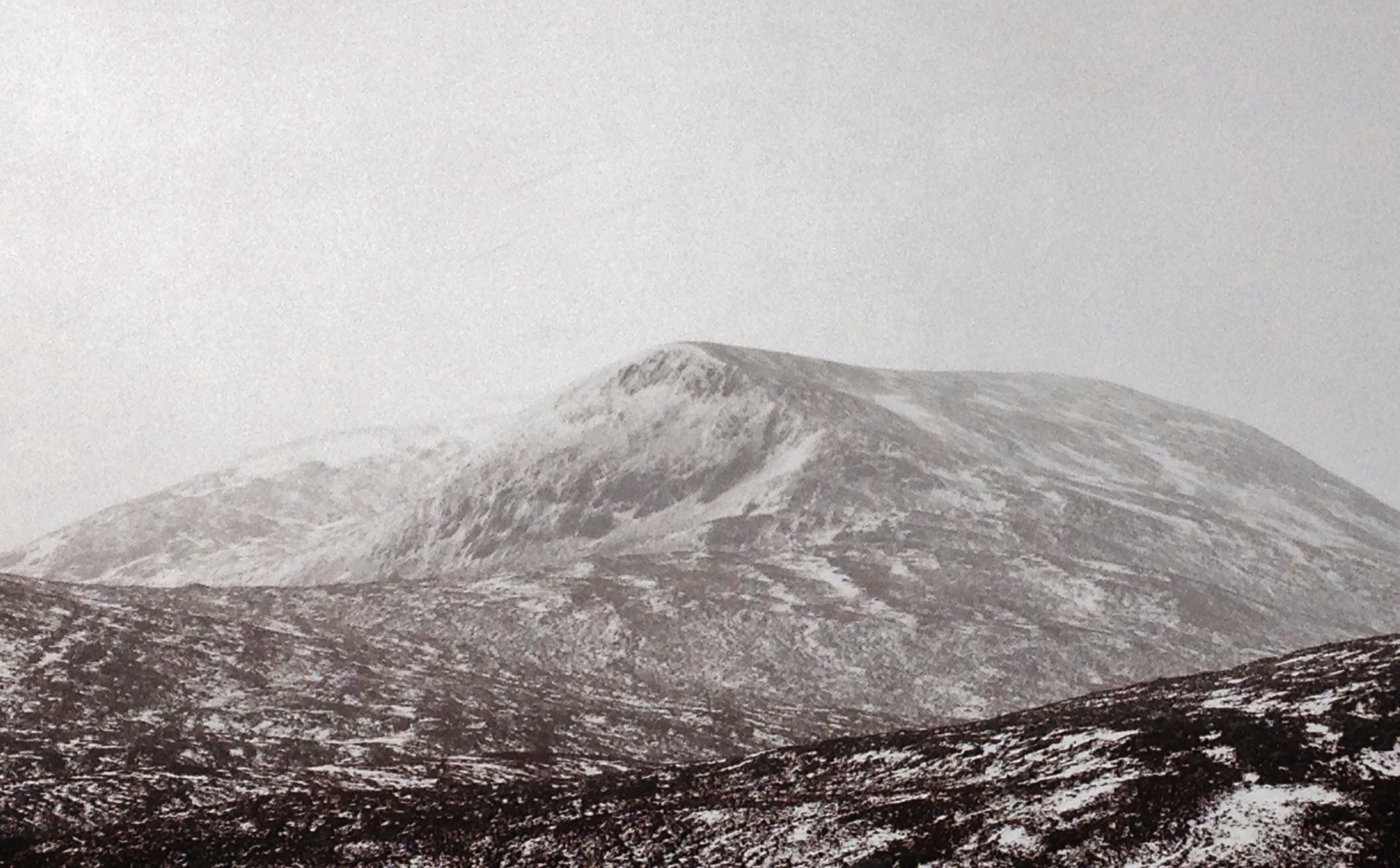
Significantly milder today with persistent heavy rain, at all levels this morning. The snow cover is thawing at all levels and much depleted particularly at mid to lower elevations. A return to a much colder Arctic airflow is expected later today, feeding in frequent snow showers. Localised areas of unstable windslab will develop over the next few days on steep wind sheltered terrain. Check out the Avalanche Forecasts on our website. (Above) Beinn Liath Mhor Fannaich (954m.) with the NE face of the North Top (820m.) in the foreground as seen through a ‘rain haze’! Residual instabilities remain in pockets of windslab in steep locations at higher elevations and wet snow surface instabilities developed through the morning in the same locations.
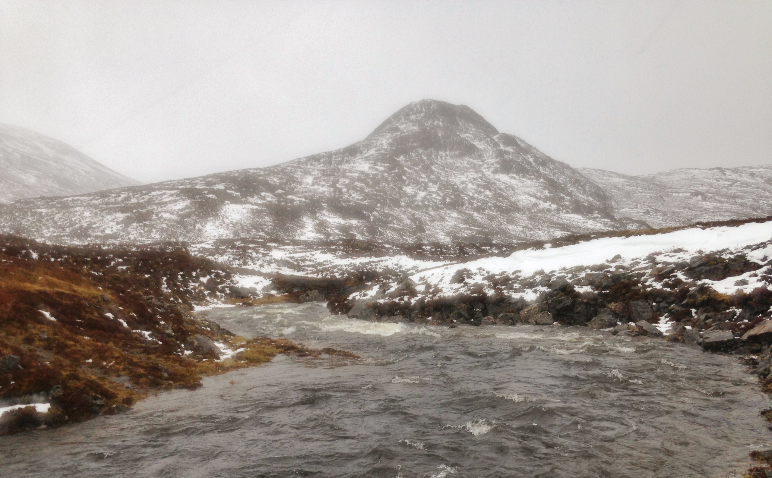
 (Above) Change of plans this morning as what is usually a minor burn crossing, morphed into a raging torrent! Snow melt combined with heavy rain has swollen burns and rivers to spate levels and local flooding, presenting a cold water hazard.
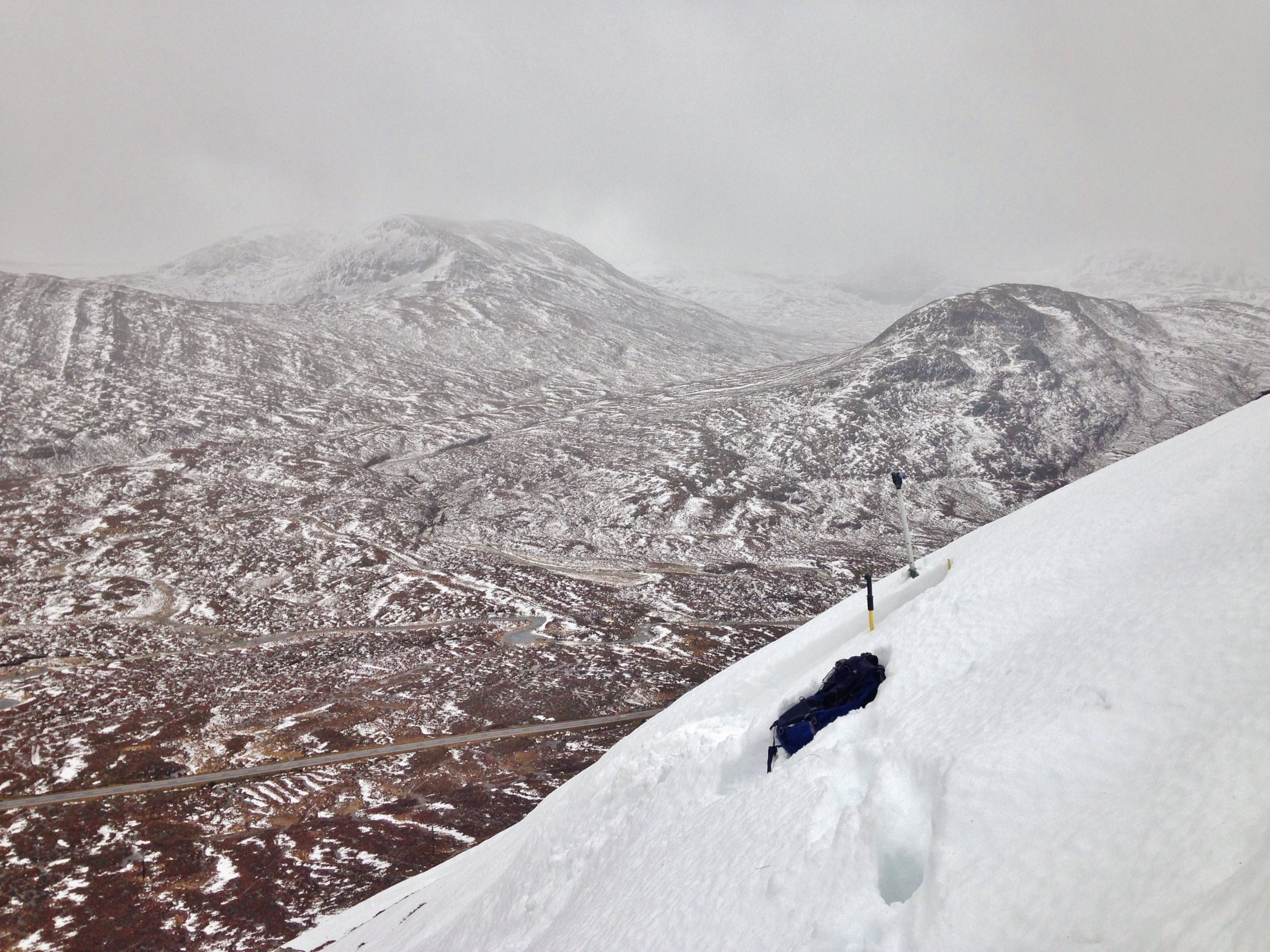
 (Above) Deep snow drifts remain predominantly on NE to SE aspects at higher elevations. The snow in the photo (at 520m. elevation) has a wet surface, but remains much drier and colder at depth. However, a basal layer of slush presents a weakness in the snowpack. Check out the snow profile page on our website for full details.
Comments on this post
Got something to say? Leave a comment


