Rain, Sleet and Snow
29th January 2020
A warm front sat over the Torridon area from mid morning to mid afternoon, breaking into showers later. Persistent rain, sleet and snow at higher elevations gave a few more centimetres generally, most new snow lying on North to East aspects above 650m. The freezing level crept up through the day producing a thaw at lower elevations.

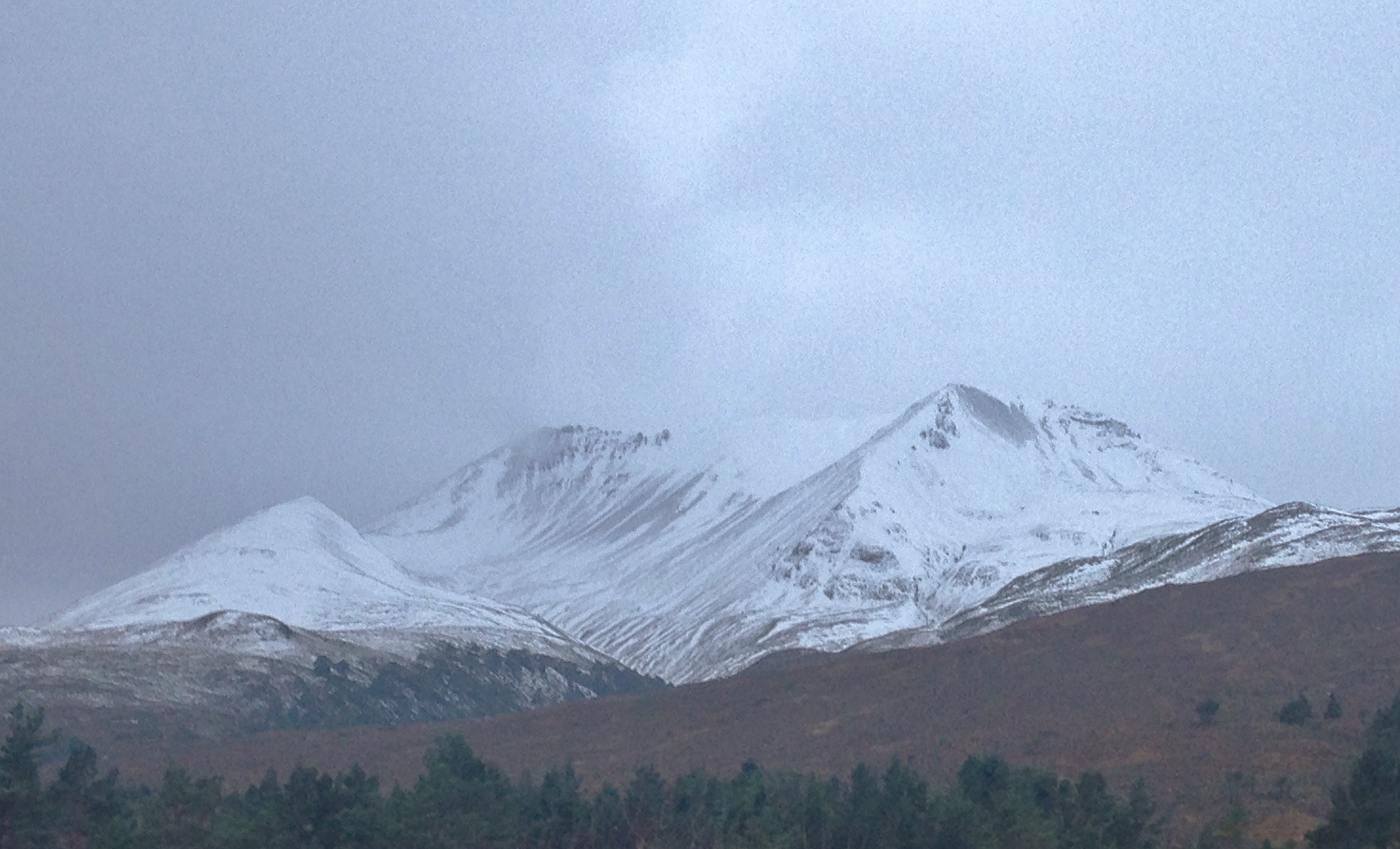
The east end of Beinn Eighe pre frontal precipitation. The snow cover is generally quite shallow, more so than would suggest in the photos taken from a distance. Most snow in drifts below ridge crests, coire rims and in gullies.

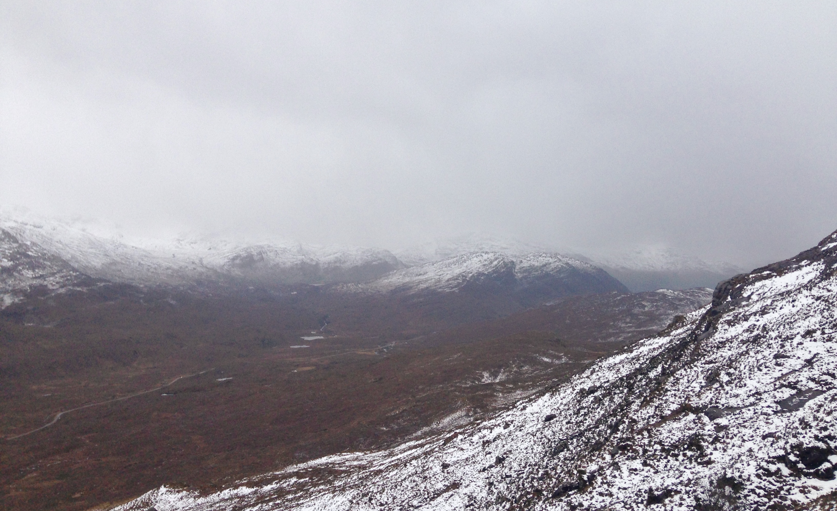
The front edge of the warm front heading up the glen. I managed to get above the precipitation snow level before it arrived, but was drookit on the way down!

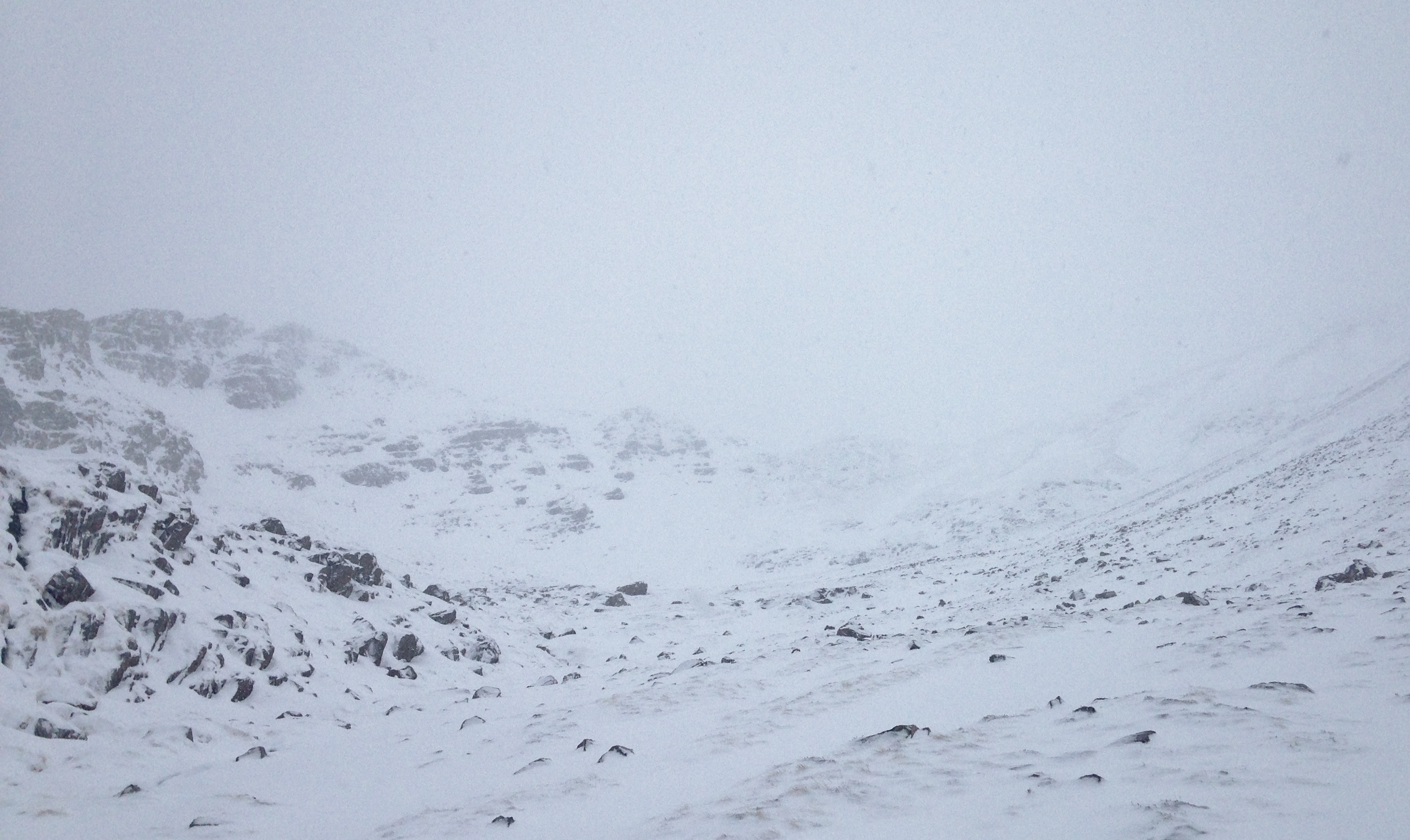
As good as it got in Coire an Laoigh. Greatest accumulations of snow lie on crag aprons, scarp slopes and in sheltered runnels.
Comments on this post
Got something to say? Leave a comment


