The Snow Arrived
16th December 2018
Overnight snowfall has dramatically changed the landscape – it looks like winter! Showers continued throughout the day wintry at higher elevations, but did not really add to the snowpack. It has progressively become milder, so the snowline rose to around 550m by mid afternoon. The general snowpack is shallow, with just a dusting of snow in most places. The biggest hazard today was verglas covered rocks, scree and paths (above 500m), especially when covered with snow! I nearly broke my neck a few times….

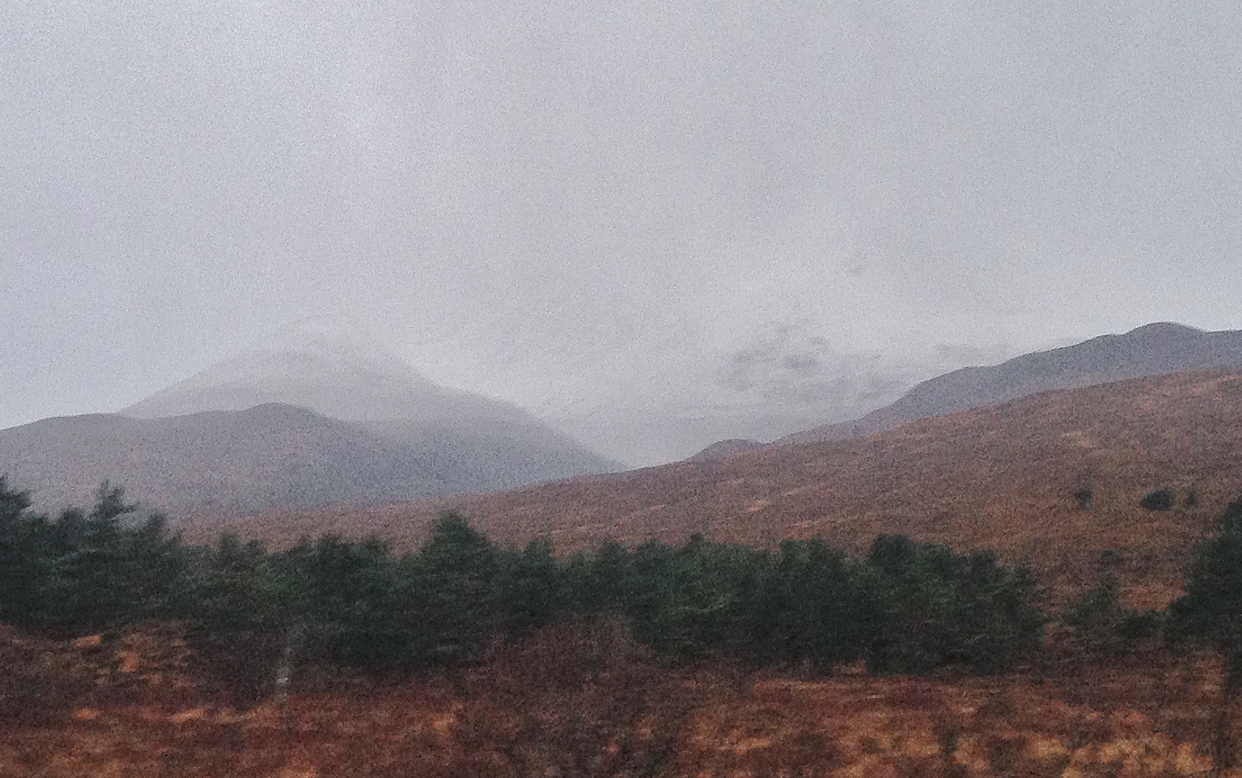
A miserable start to the day looking onto Creag Dhubh, Beinn Eighe above Kinlochewe. Compare to the photo taken from same location 2 days ago. But at least there is snow in this photo…

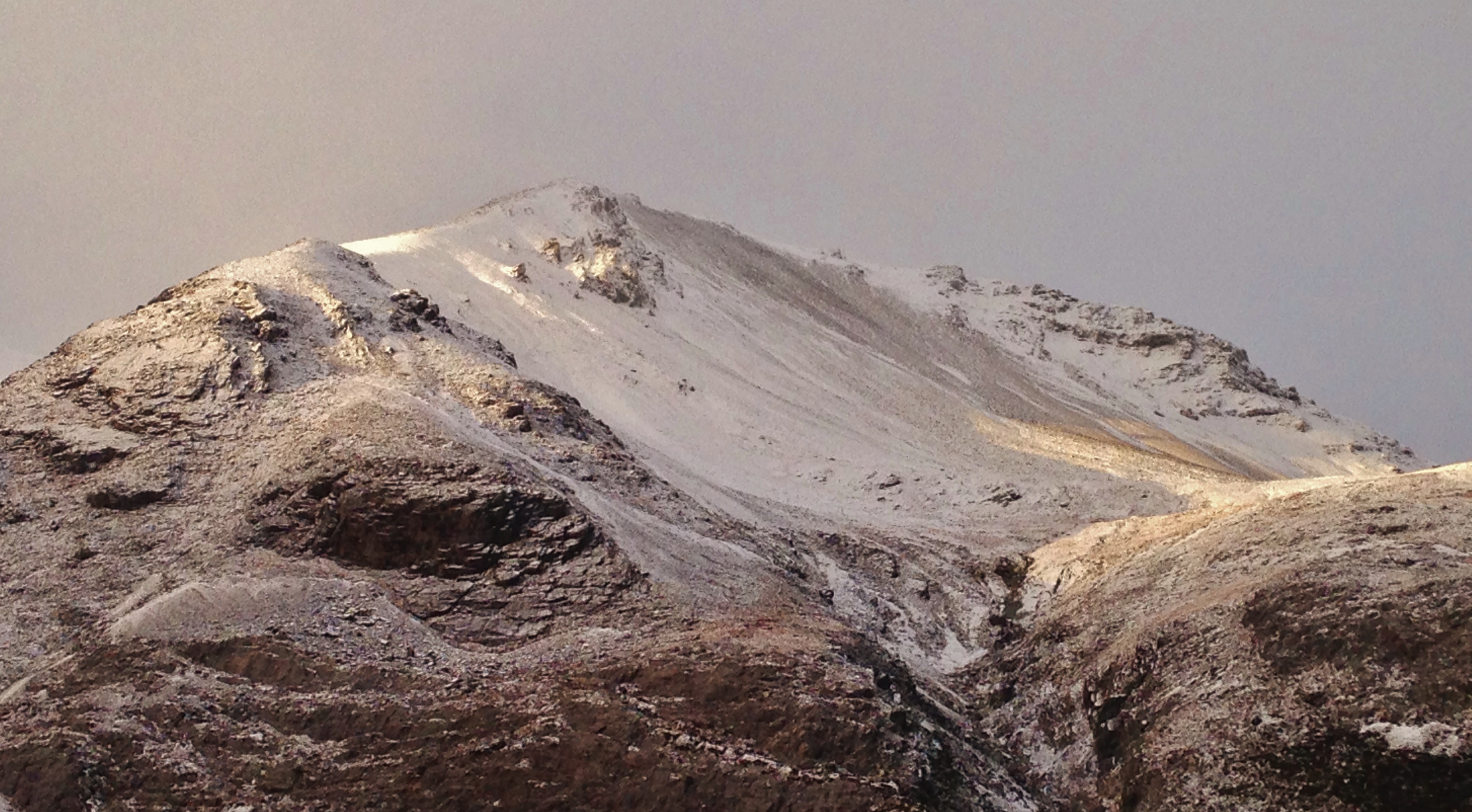
East ridge of Creag Dhubh (the location for today’s snowpack observations) with Coire Domhain on the left. Most snow has accumulated in all the usual locations – lee slope coire rims and ridge flanks.

Note the scoured slope directly under the summit of Creag Dhubh. This has a NE aspect and remains scoured throughout the season to a greater or lesser extent. Summit wind eddying effect. Now you will be looking out for this through the season!

Verglassed rocks. Fine if you can see them, but can be treacherous when under snow cover. This occurred yesterday and the previous night with freezing rain – supercooled water droplets, solidifying (ice) when it makes contact with very cold objects.

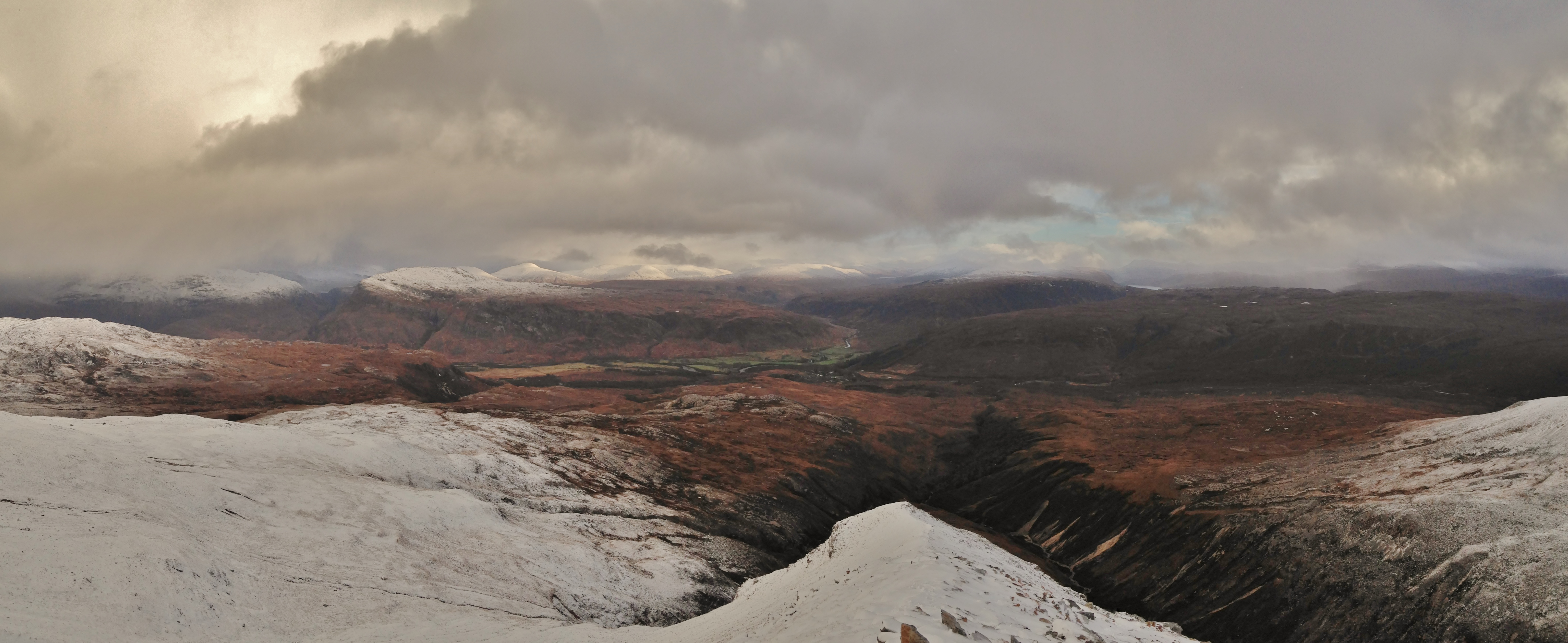
Looking NE over Kinlochewe into the Fannaich mountains. The snowline gradually rose through the day.
Comments on this post
Got something to say? Leave a comment


