Calm before the storm!

8th January 2015

Back in Torridon today preparing for the weekend forecasts. An overall net loss of snow since last week. Significant snow expected Thursday night into Friday accompanied by extremely high winds…gusts from the West anticipated to be 130 mph in the early hours of Friday.

Am Fasarinen Pinnacles on Liathach. Ridge clear of snow - good walking.

Am Fasarinen Pinnacles on Liathach. Ridge clear of snow – good walking.

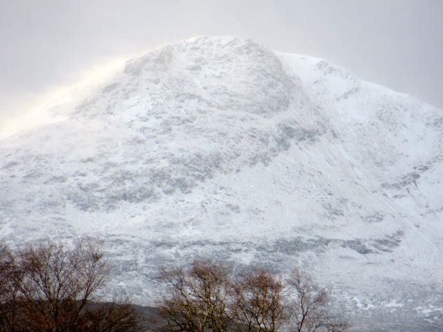
Creag Dhubh at the Eastern end of Beinn Eighe. This is the aspect where most old snow has survived.....with a cosmetic top up from last night.

Creag Dhubh at the Eastern end of Beinn Eighe. The snowiest aspect.

Sgurr a' Choire-rainich, 848m. Significant snow transport.

Sgurr a’ Choire-rainich, 848m. Significant snow transport.

Comments on this post

Got something to say? Leave a comment

    Latest Torridon Avalanche Report
    Archives
    Categories
    RSS Feed
    Keep up to date by subscribing to our RSS feed
Service funded by sportscotland
Forecast data supplied by the Met Office
SAIS Sponsors