Spring Snowpack
21st March 2022
The spring equinox is a significant day in the calendar year as daylight hours will exceed darkness hours and it is fitting that our weather and snowpack are also in spring condition. High pressure will maintain dry and settled conditions this week, with long spells of sunshine and generally light winds with overnight frosts in places. The snowpack will remain well bonded and stable, very firm on shaded aspects with some surface softening on sunny aspects.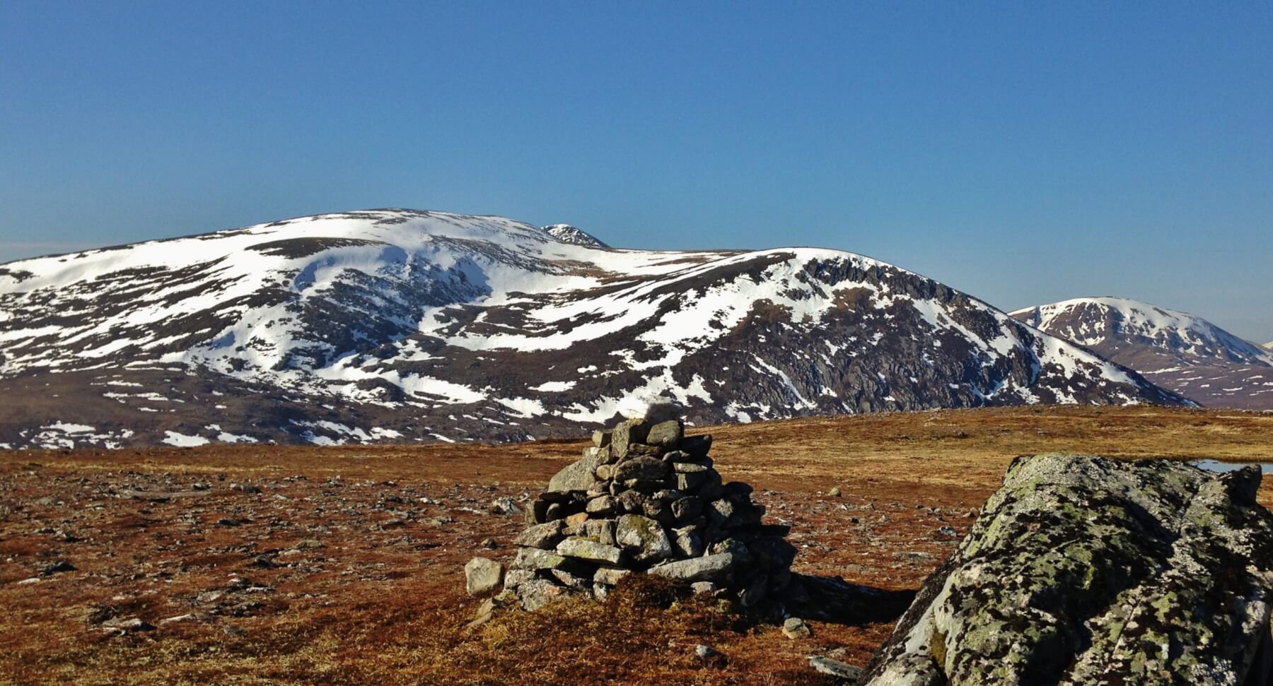 (Above) The NE aspects of Beinn Liath Mhor Fannaich with Sgurr Mor peeking out just to the right of the summit and Meall a’ Chrasgaidh on the far right. Limited snow cover generally with most snow remaining on North through East to South-East aspects above 800 metres. Much bare ground at lower elevations and on Westerly aspects.
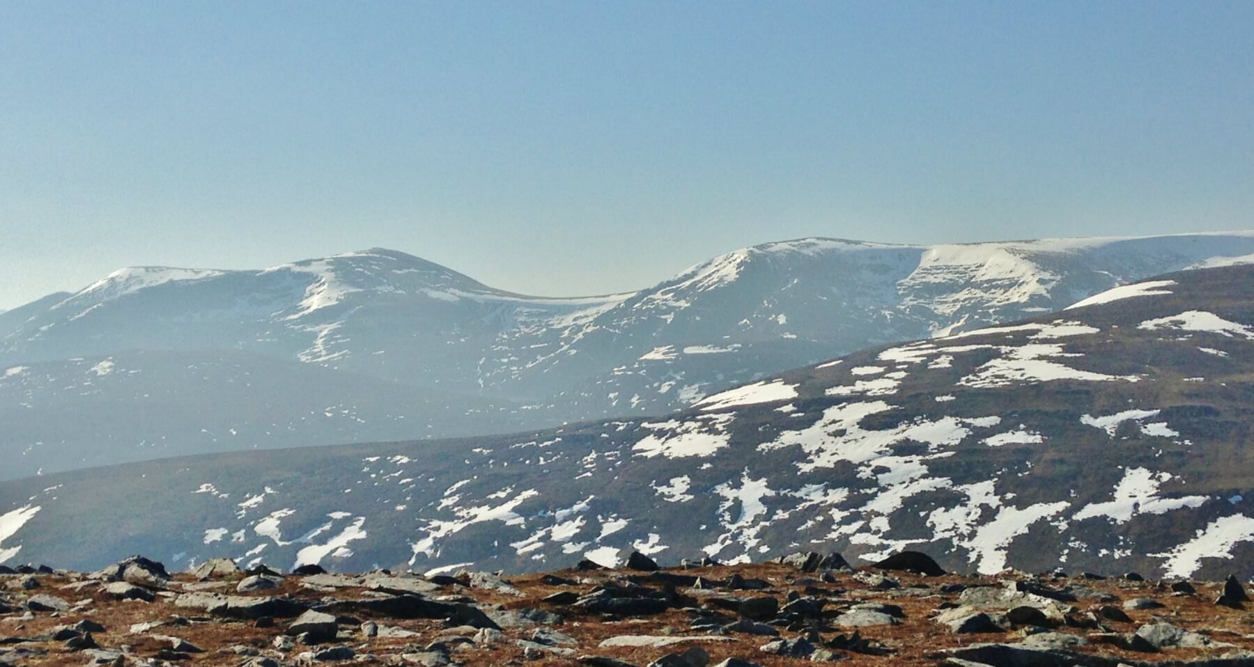 (Above) Looking onto the SE Fannaich mountains of Meall Gorm and An Coileachan. Although it was a clear day, there was a haze as our source high pressure airmass over the Baltic sea is  giving us a southerly flow with winds carrying air pollution from the Mediterranean, France and England over Scotland. Hmm…
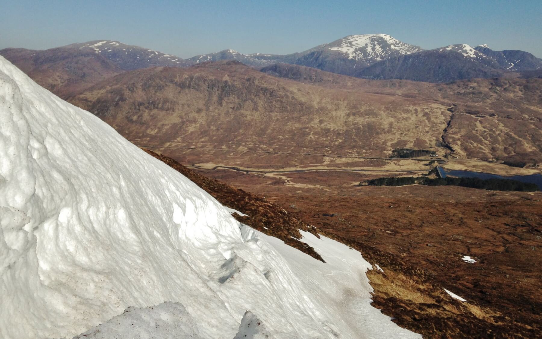 (Above) Full depth snow creep is typical of a thawing and/or spring snowpack. Here, the underlying ground is a smooth and steep rocky outcrop. The snowy mountain in the background is Beinn Dearg.
Comments on this post
Got something to say? Leave a comment


