Early Start to 2021/22 Season
25th November 2021
A weather forecast of wintry conditions over the next few days has led to an early start for the Torridon forecast area. This is primarily due to a Polar Maritime/Arctic airmass bringing heavy snow showers and longer periods of snow combined with severe gales in the mountains, affecting the more northern areas.
Currently, there is a shallow snow cover, snow above 300 metres, with very localised areas of windslab building in steep wind sheltered locations above 700 metres, mainly affecting East through South to South-West aspects. However, it’s all change later tomorrow with the onset of storm Arwen bringing storm force Northerly winds and blizzard conditions to the mountains. It will be very cold with a severe windchill.
Check out the latest avalanche forecast for the Torridon area. https://www.sais.gov.uk/torridon/
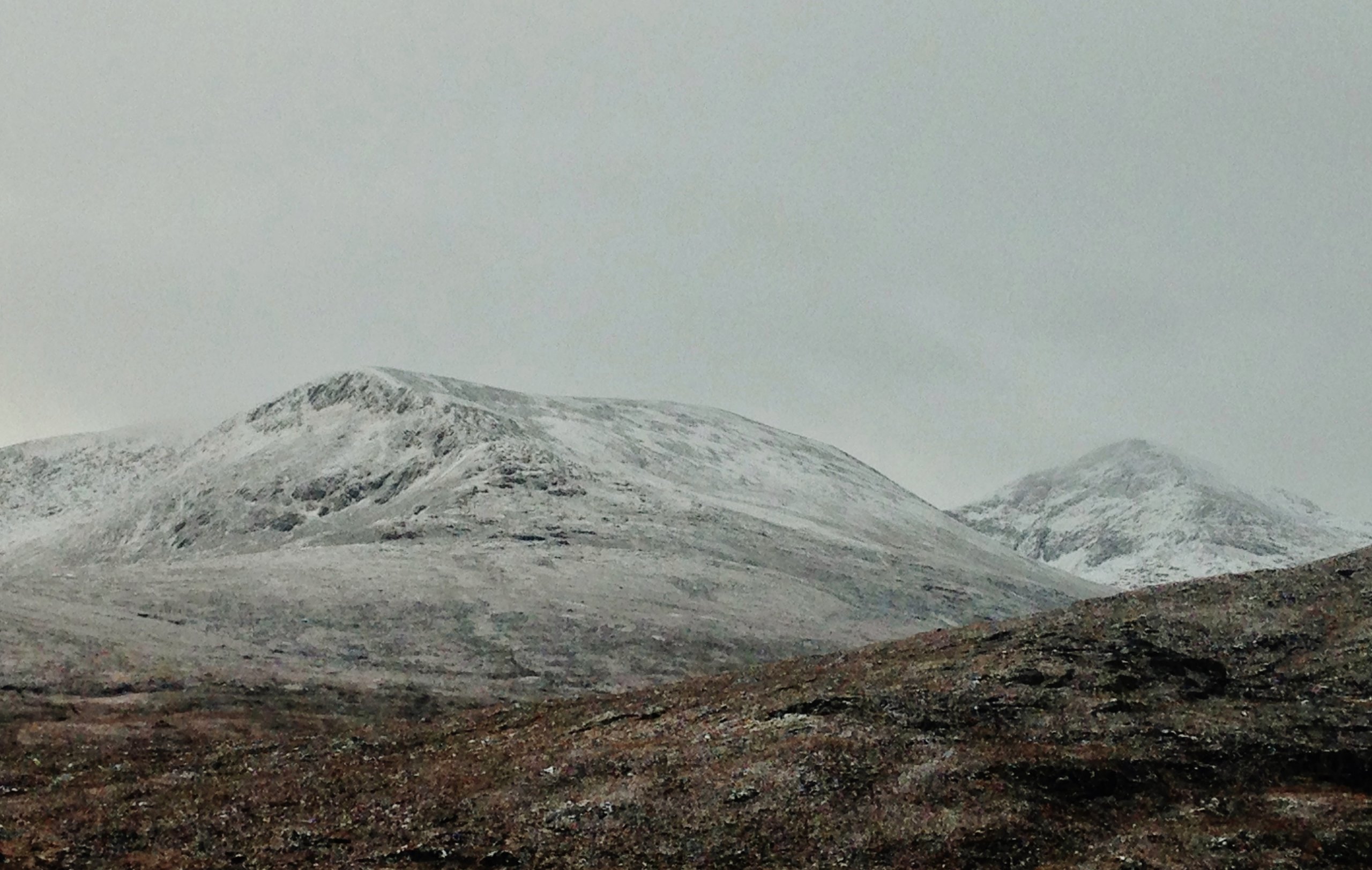
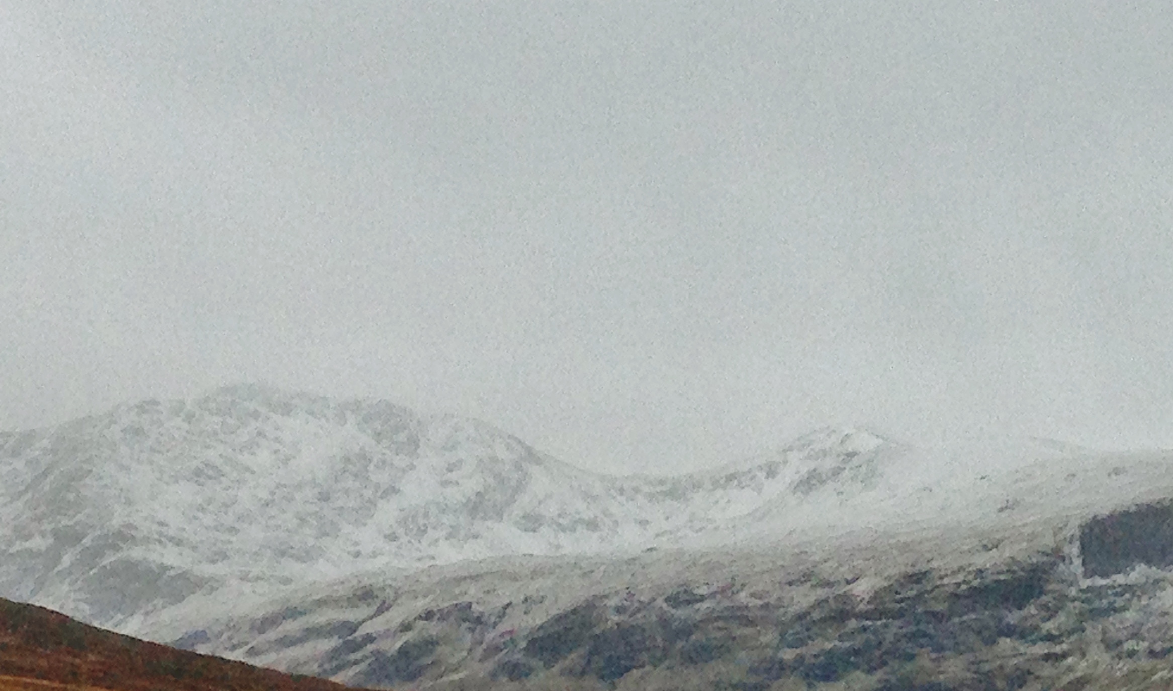
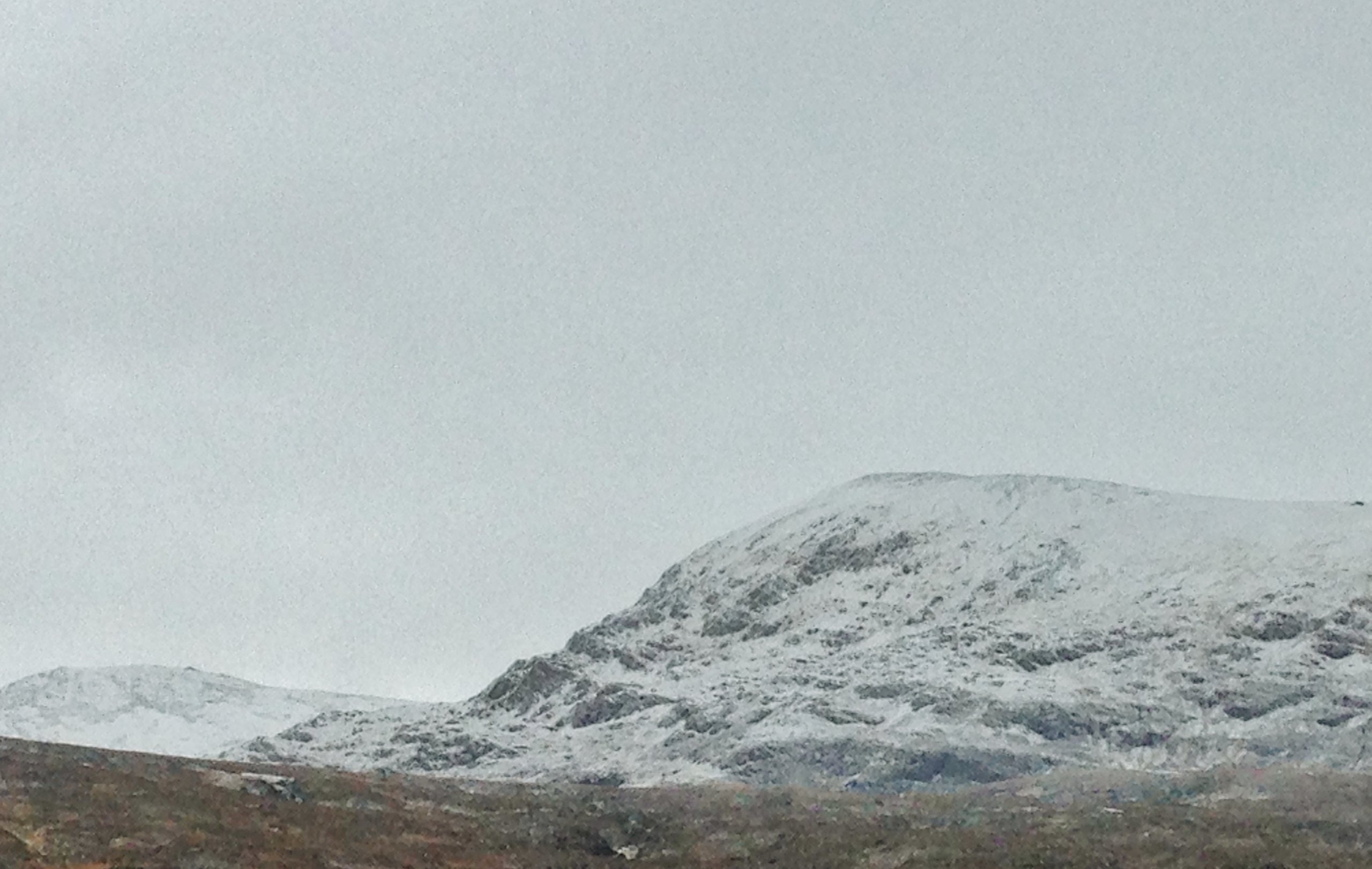
Above 3 Photos
Views of the more northern Fannaich mountains showing the extent of the snow cover around midday today.
Comments on this post
Got something to say? Leave a comment


Gregor
26th November 2021 5:15 pm
Fà ilte gu geamhradh! âï¸