Warmer, Wetter and Windier
30th March 2021
Covid -19
The Scottish Avalanche Information Service issues information to support permitted activity under current Scottish Government guidance.
Please be aware of current mandatory travel restrictions in Local Authority areas within Scotland and respect local communities by referring to Scottish Government guidance and safe route choices for exercise. For further guidance please refer to the following information for hillwalkers and climbers and snowsports on ski and board.
This blog is intended to provide hazard and mountain condition information to help plan safer mountain trips.
The warm and very wet conditions continued for another day, with the freezing level remaining well above the summits. Heavy and prolonged rain has swollen mountain burns and streams with many difficult to cross. Colder temperatures and strong North-Easterly winds forecast for the following day, accompanied with some limited new snowfall.
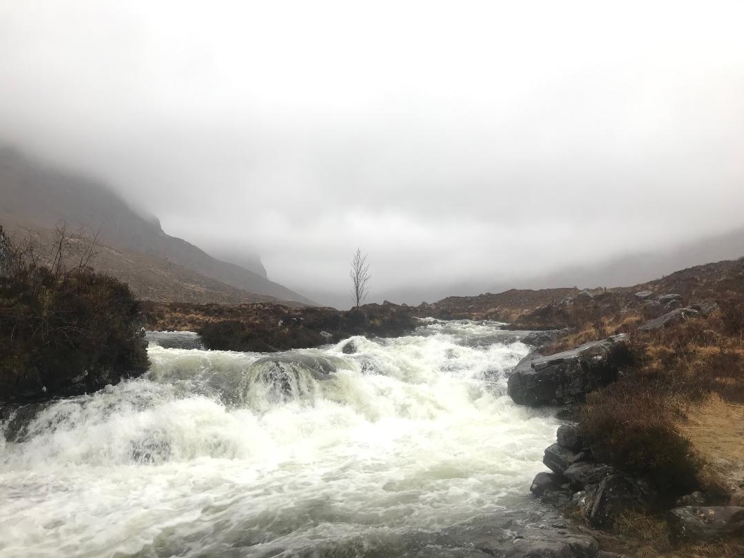
Russel burn from Loch Coire nan Arr, with the Cioch nose in the background.
Looking across to Coire na Poite and Coire an Fhamair
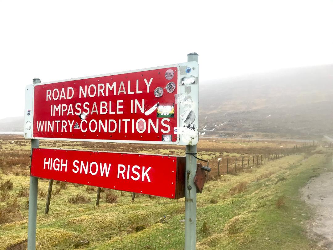
Some new snow forecast but this sign is still ironic.

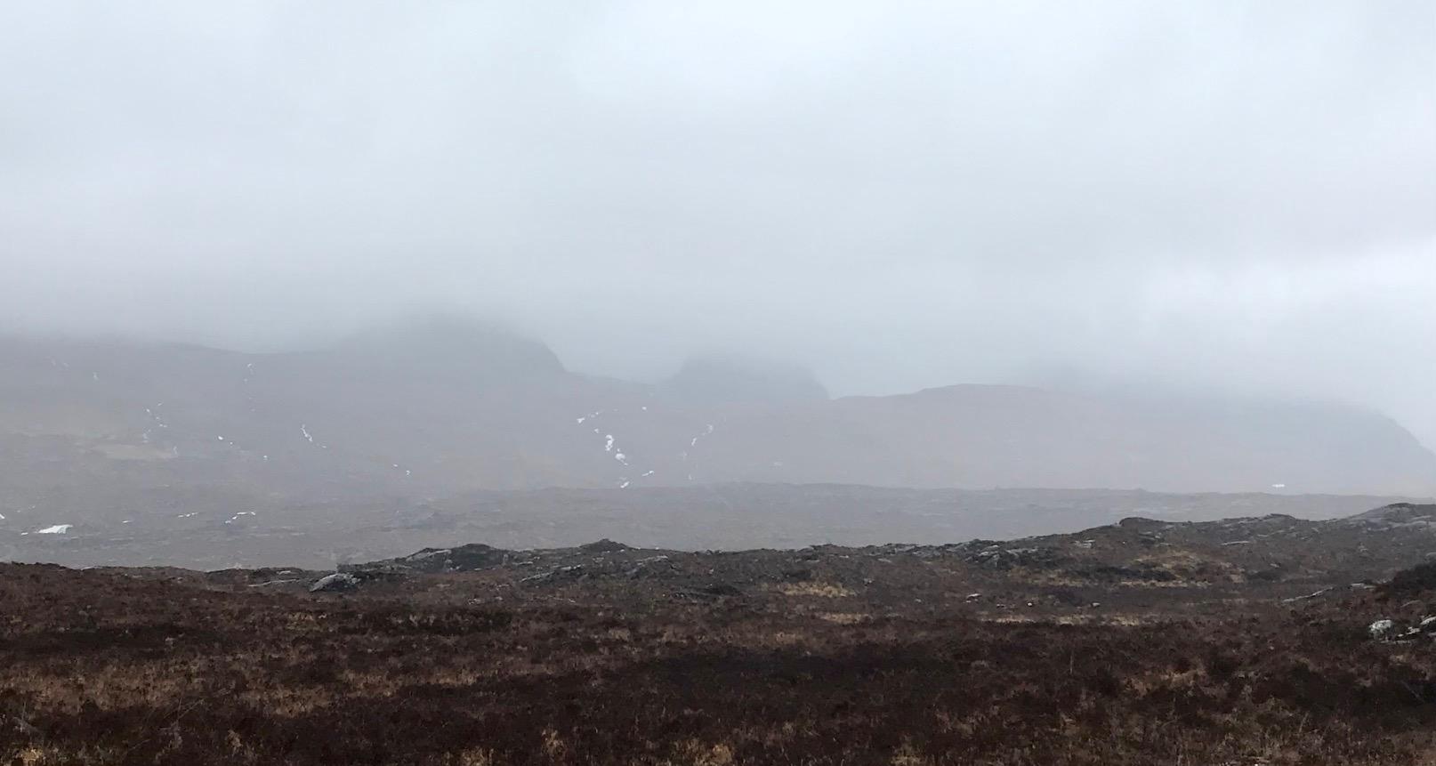
Liathach and Beinn Eighe, truncated by the low cloud.
Comments on this post
Got something to say? Leave a comment


