It’s looking white once again
10th March 2021
Covid -19
The Scottish Avalanche Information Service issues information to support permitted activity under current Scottish Government guidance.
Please be aware of current mandatory travel restrictions in Local Authority areas within Scotland and respect local communities by referring to Scottish Government guidance and safe route choices for exercise. For further guidance please refer to the following information for hillwalkers and climbers and snowsports on ski and board.
This blog is intended to provide hazard and mountain condition information to help plan safer mountain trips.
A return to the Fannich’s today. Â The snow line was around 500m, providing a wintery feel once again. Â A bracing fresh wind from the South West, accompanied by squally snow showers. Â The freezing level will rise above summit height this evening before dropping down to 500m tomorrow accompanied by snow showers. Â Unstable windslab will start to build on North, North-East and East aspects above 800m. Â Don’t pack away the winter woolies yet.
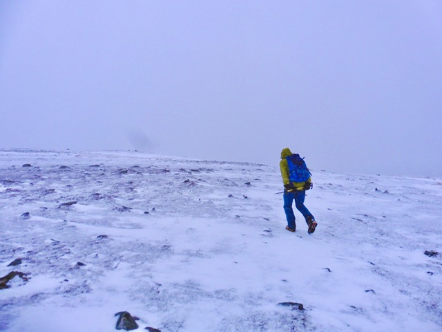
Wintery feel heading to Beinn Liath Bheag (665m). A cosmetic dusting of snow and spindrift getting blown around, even at this altitude.
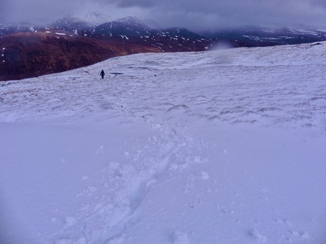
Very isolated deeper drifts of fresh snow.
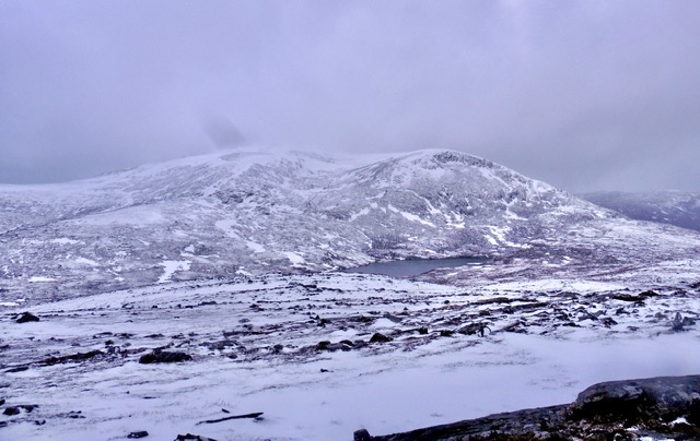
Between the squalls, Beinn Liath Mhor Fannaich (954m) was visible. The old snowpack locations are obvious and are now covered by a thin dusting of fresh snow.
Comments on this post
Got something to say? Leave a comment


