3 Munros and a Top
5th March 2021
Covid -19
The Scottish Avalanche Information Service issues information to support permitted activity under current Scottish Government guidance.
Please be aware of current mandatory travel restrictions in Local Authority areas within Scotland and respect local communities by referring to Scottish Government guidance and safe route choices for exercise. For further guidance please refer to the following information for hillwalkers and climbers and snowsports on ski and board.
This blog is intended to provide hazard and mountain condition information to help plan safer mountain trips.
No, I didn’t walk 3 Munros and a top today (although I’d have loved to!), but scaled a smaller ‘viewpoint’ hill for observations into the higher Fannaichs. Less sunny than forecast and a cold breeze giving an unexpectedly high windchill. The snowpack remains very firm and stable in all locations. Most snow is neve, having been through a number of freeze thaw processes. It will be icy in places too especially around exposed summits.
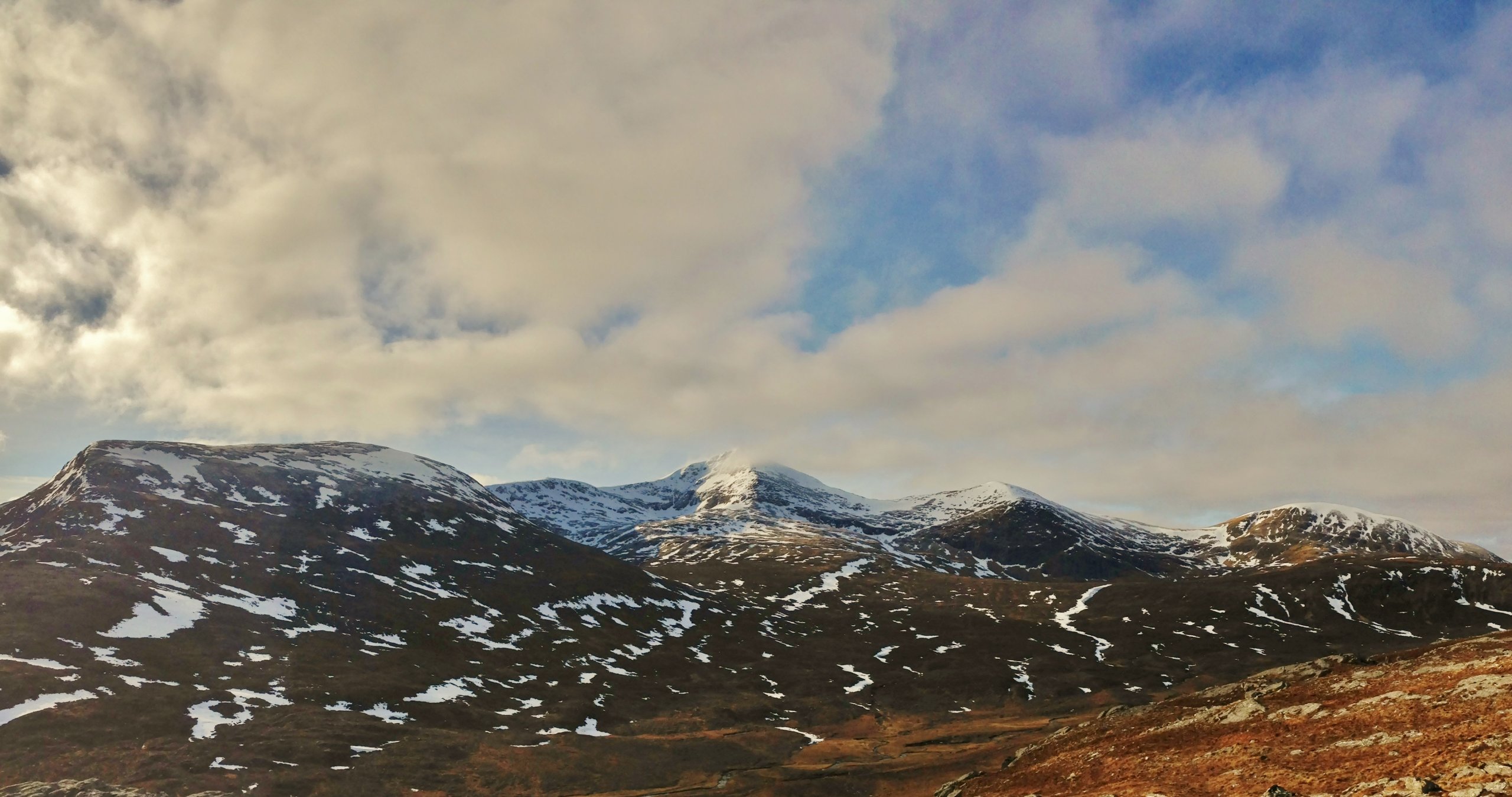
(Above) A panoramic view of 3 Munros and a top. Left to right; Beinn Liath Mhor Fannaich, Sgurr Mor, Carn na Criche and Meall a’ Chrasgaidh. Cloud fed in from the SW during the morning, covering the higher summits at times. The surface breeze was generally from the NW and cold!
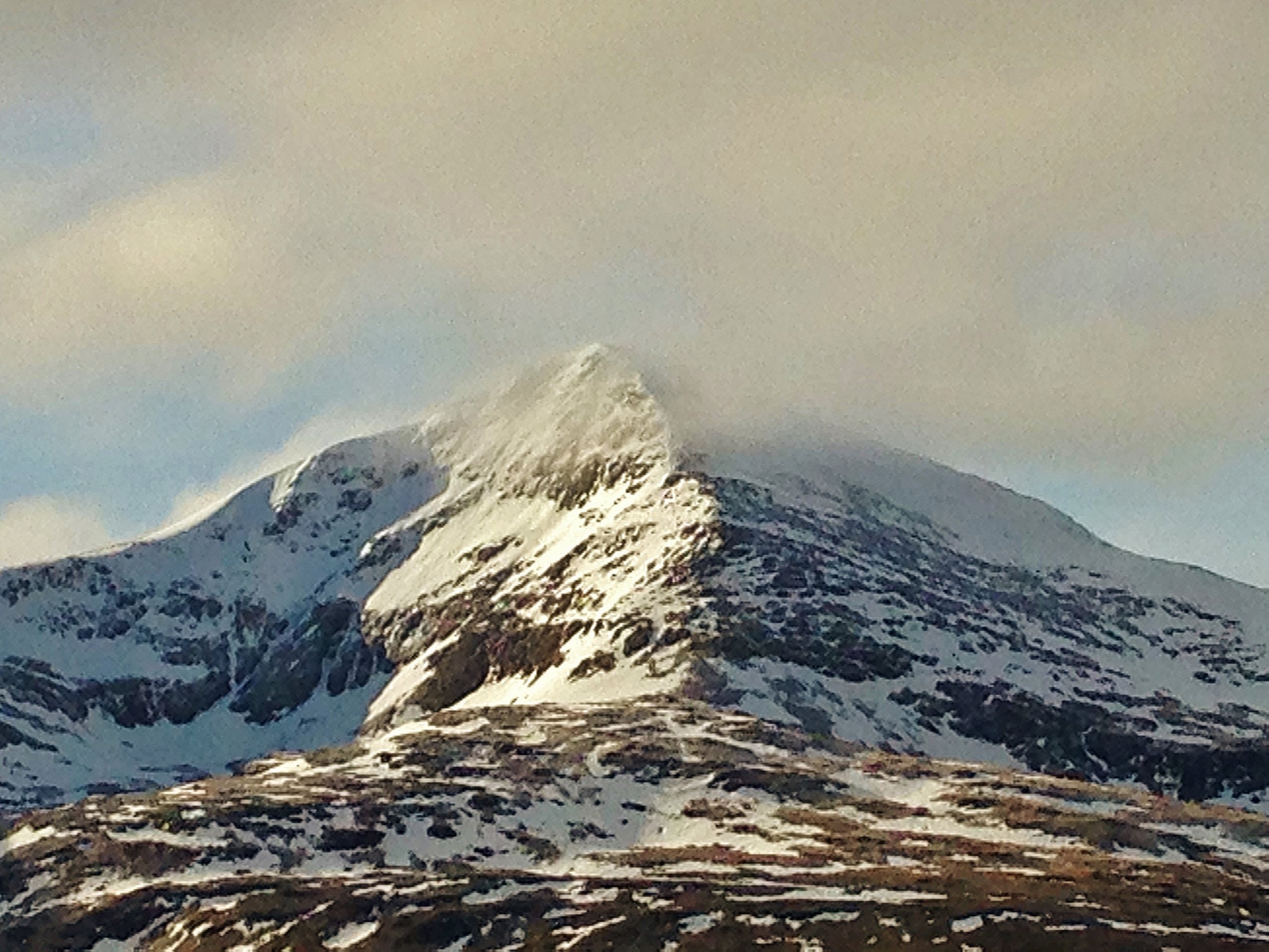
(Above) The snowy East and North aspects of Sgurr Mor with the NE ridge centre. Sgurr Mor arguably has the most snow remaining on it of any mountain in the Torridon forecast area. The summit height is 1110m. and the ground at the bottom of the photo is around 700m. The light dusting of snow from 36 hours ago is still present.
Comments on this post
Got something to say? Leave a comment


