Strong Easterlies Return
12th February 2021
Covid -19
The Scottish Avalanche Information Service issues information to support permitted activity under current Scottish Government guidance.
Please be aware of current mandatory travel restrictions in Local Authority areas within Scotland and respect local communities by referring to Scottish Government guidance and safe route choices for exercise. For further guidance please refer to the following information for hillwalkers and climbers and snowsports on ski and board.
This blog is intended to provide hazard and mountain condition information to help plan safer mountain trips.
A cold, dry, part cloudy day. A strengthening East to South-East wind is redistributing loose snow onto sheltered locations at all elevations, where new windslab is forming mainly on South-West to North aspects, most notably, on steep slopes at higher elevations.
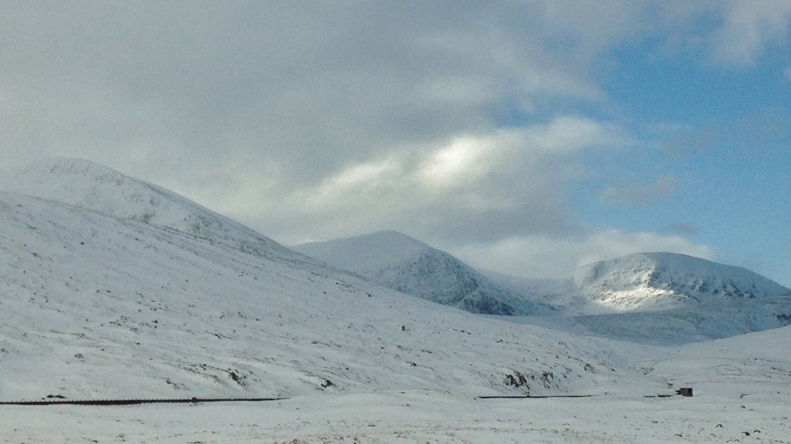
(Above) Windward aspects in the Fannaichs. Accumulations of windslab can be found on what would normally be considered to be wind exposed terrain, but which is affected due to cross loading.
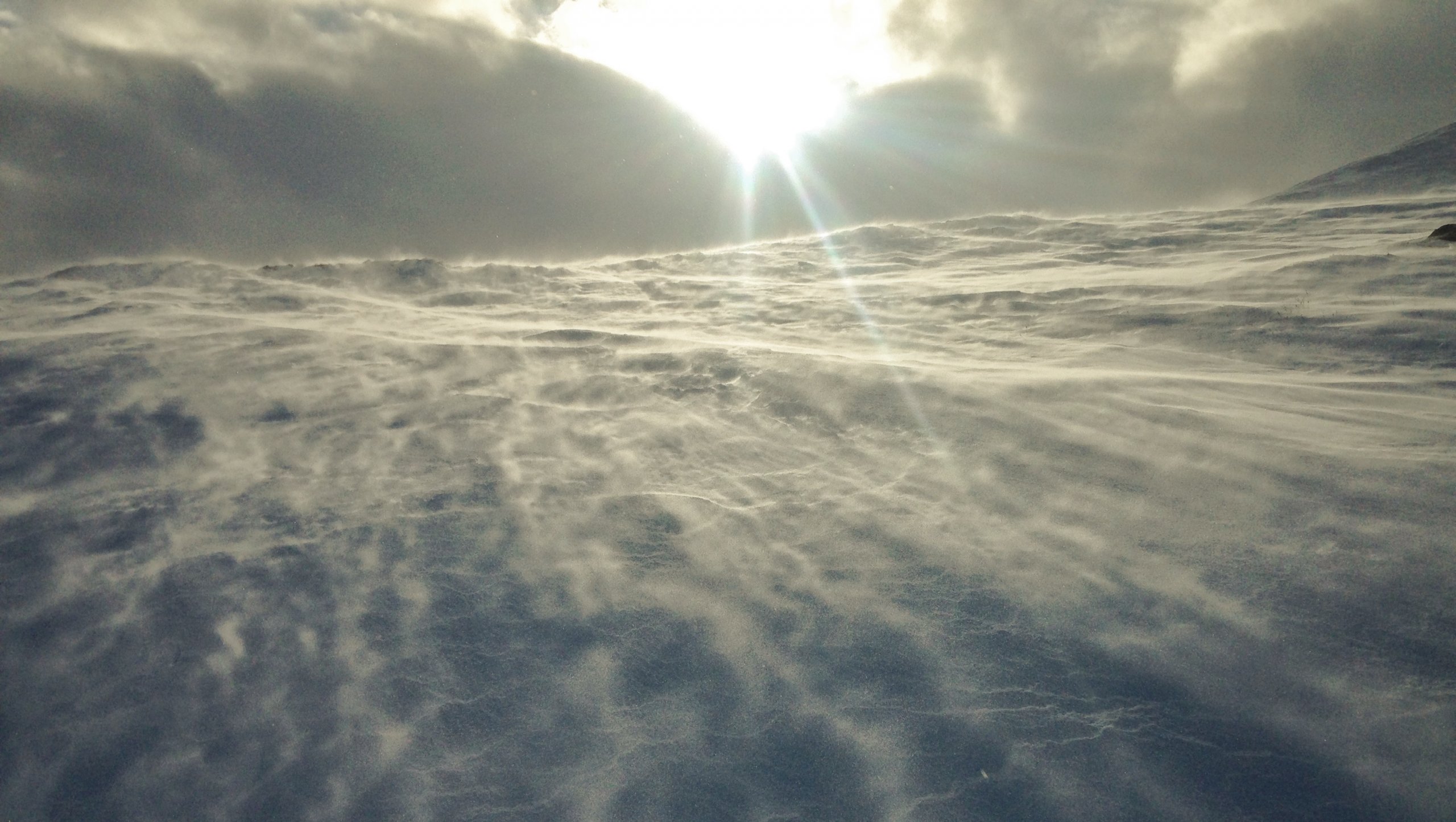
(Above) Drifting snow (spindrift) close to the ground at moderate wind speeds, but as the wind strengthens, more snow is eroded on windward terrain and is blown higher above ground level. New windslab can build at an alarming rate in sheltered locations during times of heavy snow redistribution.
Comments on this post
Got something to say? Leave a comment


