Strong Winds and Spindrift
28th January 2021
Covid -19
The Scottish Avalanche Information Service issues information to support permitted activity under current Scottish Government guidance.
Please be aware of current mandatory travel restrictions in Local Authority areas within Scotland and respect local communities by referring to Scottish Government guidance and safe route choices for exercise. For further guidance please refer to the following information for hillwalkers and climbers and snowsports on ski and board.
This blog is intended to provide hazard and mountain condition information to help plan safer mountain trips.
Significant snow redistribution occurred overnight and throughout the day in the strong Easterly winds. Areas of unstable windslab continues to accumulate in wind sheltered locations, added to by windblown new snowfall which arrived around midday, along with blizzard conditions at times. Areas most affected are steep terrain on South through West to North aspects mainly above 700m.
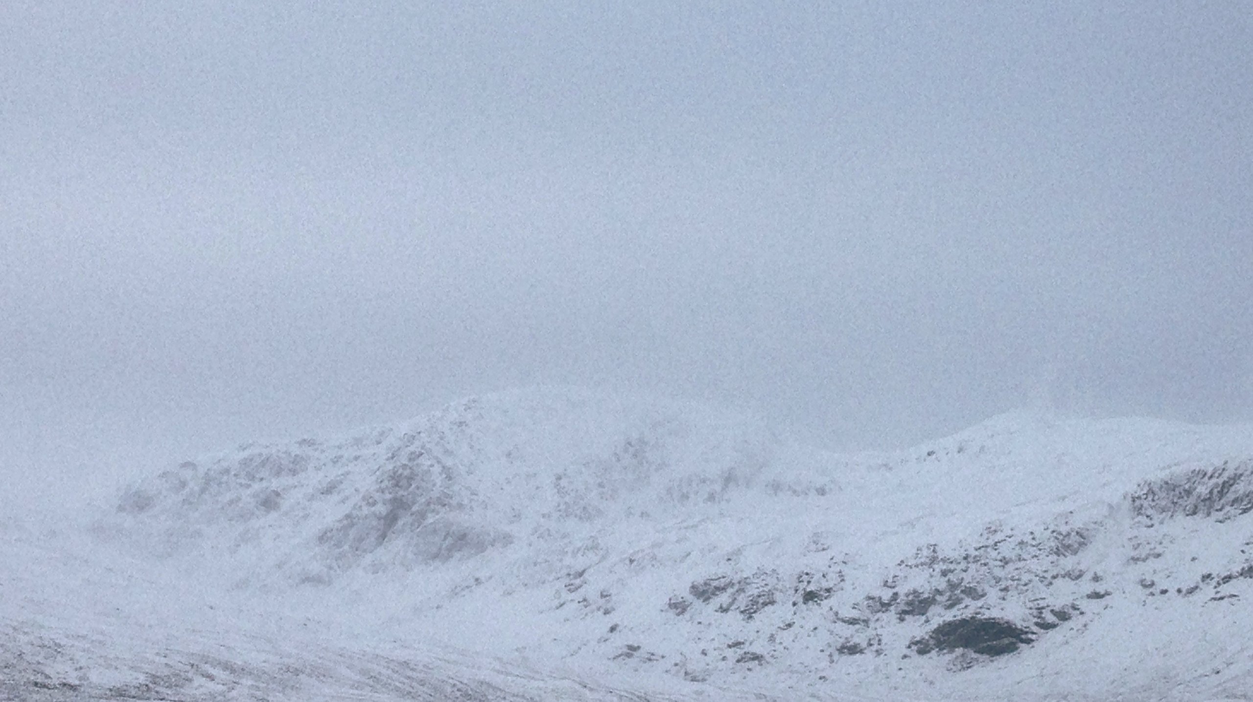
(Above) A ‘hazy’ view of Sgurr Breac and Toman Coinnich (in the Fannaichs) first thing this morning, indicative of spindrift in the air as lying snow is wind scoured and redistributed onto sheltered lee areas.
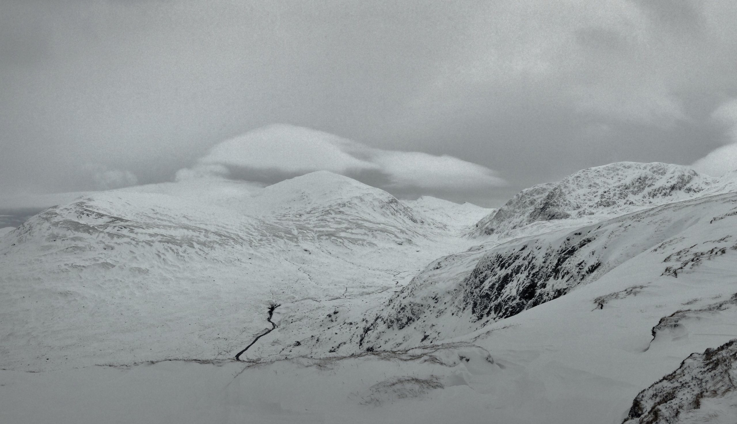
(Above) An ominous scene of Meall a’Chrasgaidh, Sgurr nan Clach Geala and Sgurr Breac. Cloud caps above the summits are a sign a frontal weather system approaching from the South-West, in this case, snow arriving later.
Comments on this post
Got something to say? Leave a comment


