Cooler conditions.
26th January 2020
We had a grey start to the day but it soon brightened up. There is a dusting of new snow on the tops with some wind slab instabilities just beginning to build on very high wind sheltered terrain. It felt cold with the wind chill but it felt refreshing to be out and about. Heavy snow is forecast for the next 24 hours with the freezing level lowering to around 350 metres. The winds will be gale force then reducing to strong. The heaviest of the snow showers will start in the early hours, the winds will be Southerly then return to South-South-West so we can expects some drifting with some deeper unstable windslab instabilities forming on high wind sheltered terrain.

A dusting of snow above 650 m… the view is towards Carn Dearg and Beinn Bhan.
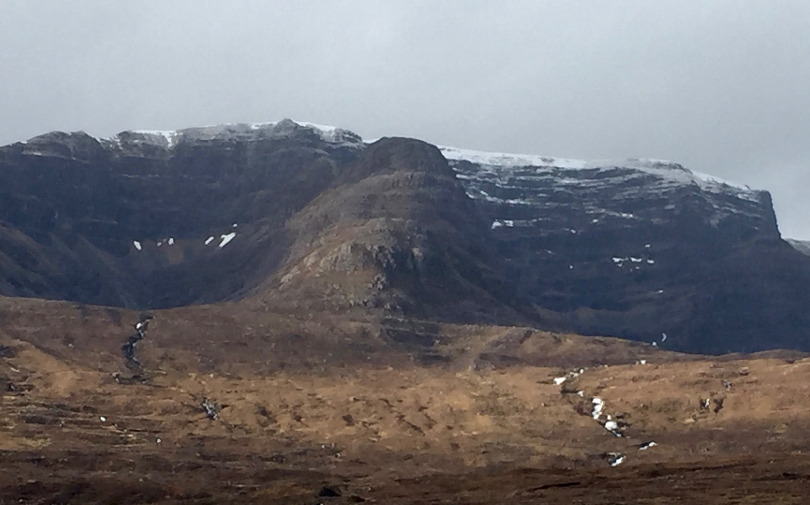
Perhaps not that clear in my photo but there is wind slab deepening and cornices developing at higher altitudes.
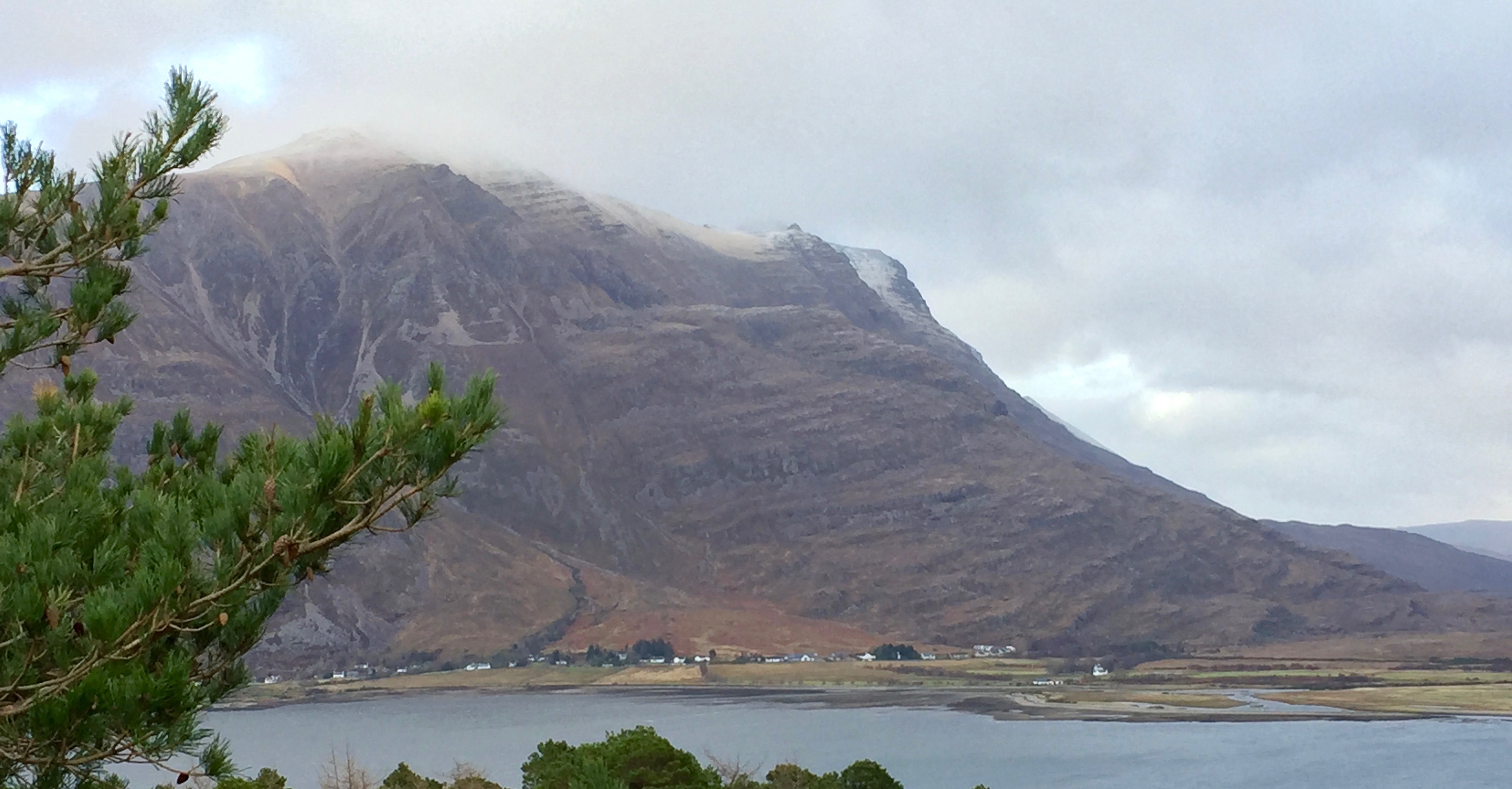
Torridon village and Liathach- just a light dusting of snow visible on high South-West aspects.
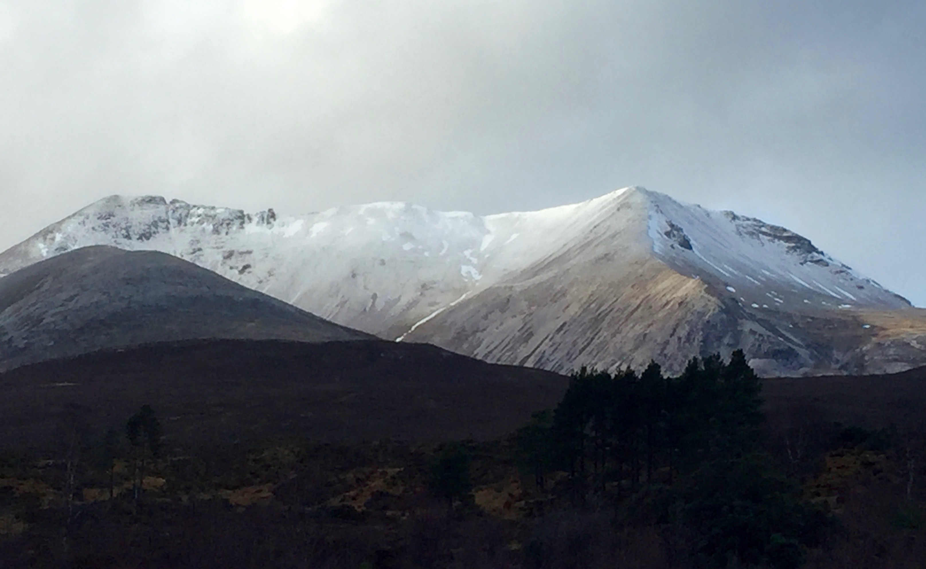
Creag Dhubh, Beinn Eighe around lunch time.
Comments on this post
Got something to say? Leave a comment


