Slow Moving Showers
9th March 2018
After a bright and frosty start to the day, cloud quickly moved in from the South-West feeding in some slow moving showers, wintry above 650 metres. The relatively recent new snowpack is consolidating, but localised areas of moderately bonded windslab persist.
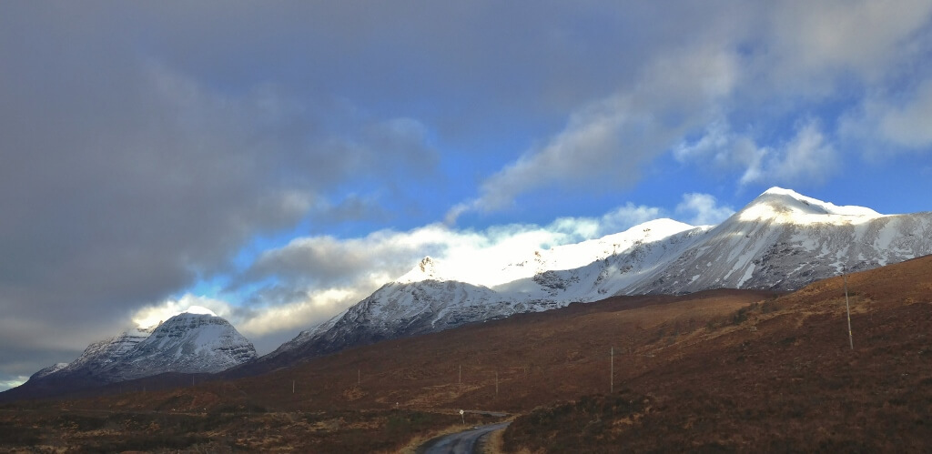
Liathach and Beinn Eighe from Glen Torridon. The overnight fresh snowline is around 450 metres.
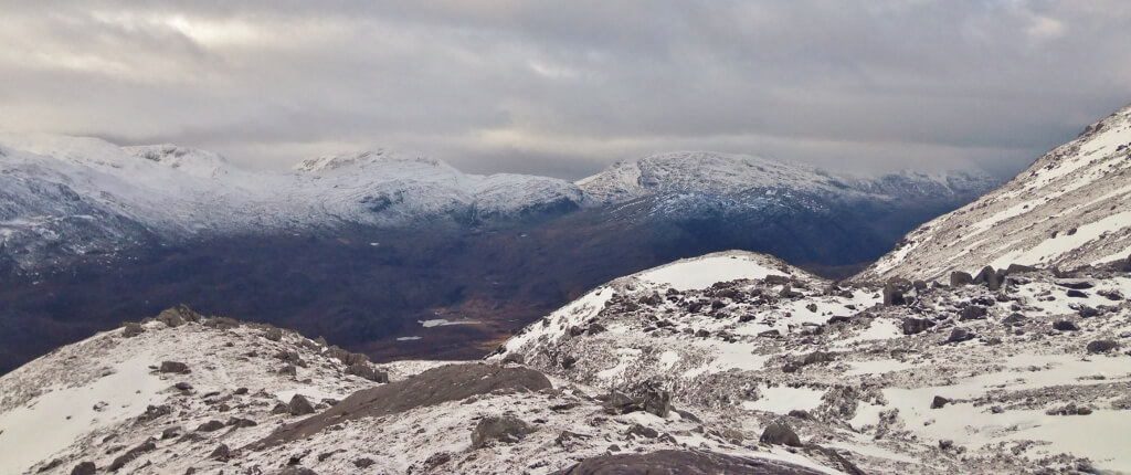
Looking from the slopes Beinn Eighe to the south Torridon hills. As the cloud moved in, it became noticeably milder, freezing level rising to 750 metres by late morning.

A touch of breakable crust at lower levels, generally avoidable.

Plenty snow above 550 metres in Coire an Laoigh, Beinn Eighe – today’s snow profile site. Snow drifts on both sides of the burn is indicative of snow deposition from differing wind directions. Some roller ball activity visible on the sun affected slope – below the crags, top right in photo.

A huge wind scoop round this fairly large boulder. Points for working out the wind direction to form this feature – from left or from right of photo?

And then it snowed! Looking East out of Coire an Laoigh.
Comments on this post
Got something to say? Leave a comment


