Rain, Sleet then Snow
17th March 2017
Rain, sleet then snow; the transition from car park to summit today. The ‘main’ snowline was around 450 metres, above which it was snowing hard at times this morning. Some localised deep drifts deposited in strong winds last night – with rumbles of thunder! This translates into accumulations of windslab on steep sheltered aspects and new cornices growth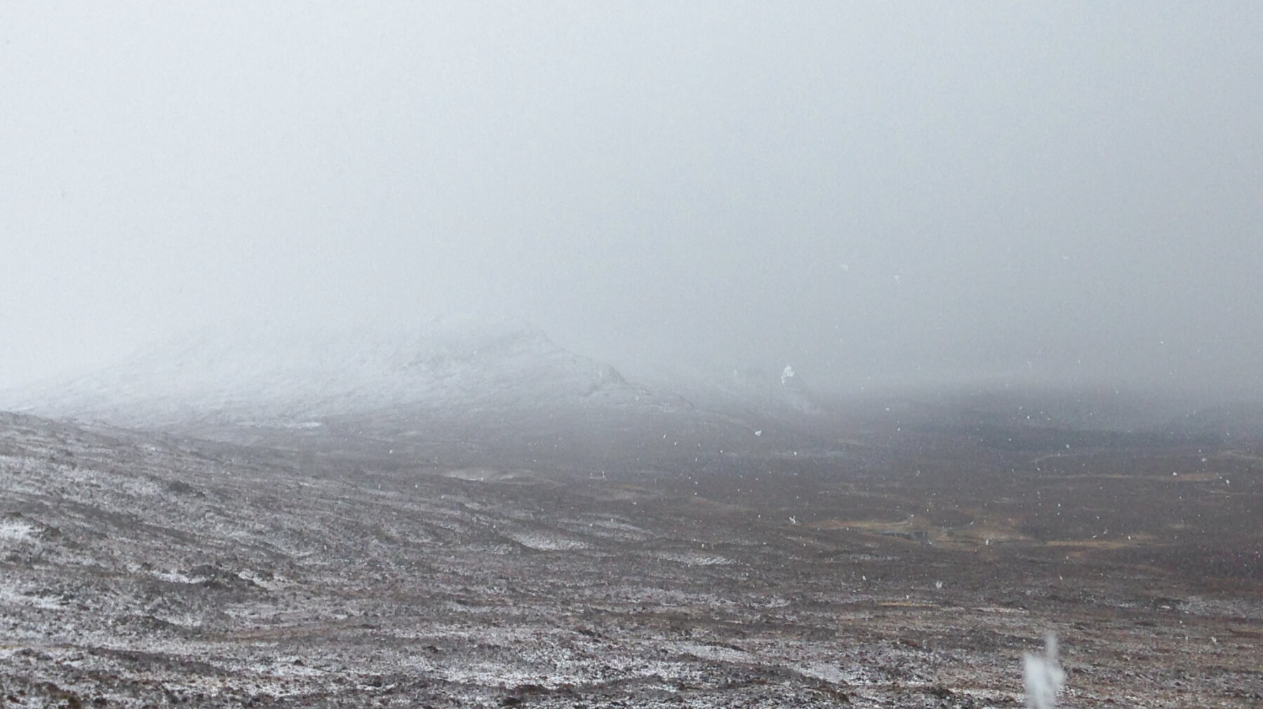 (Above) Snowing and flat light looking into the main Fannaich mountains this morning.
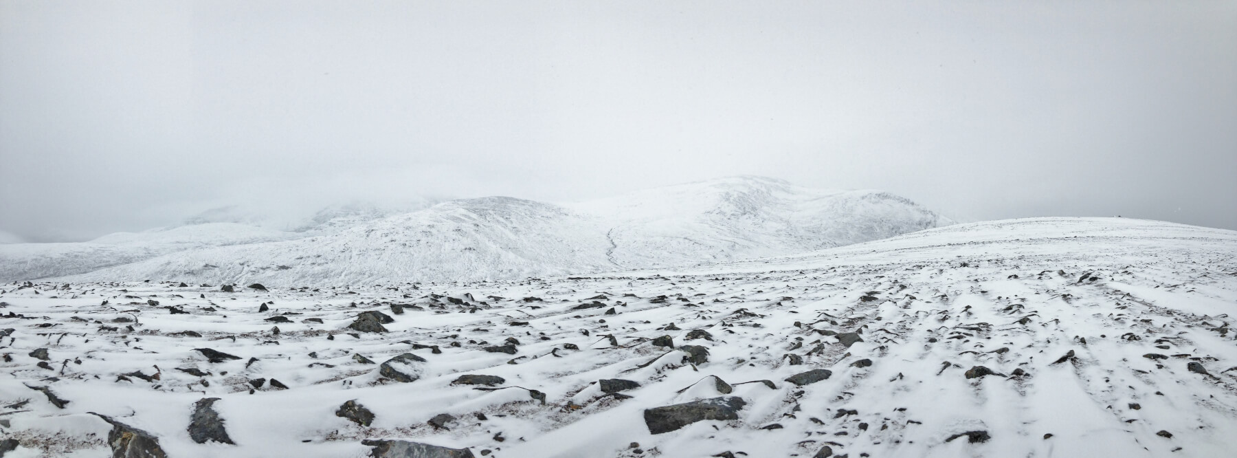 (Above) Looking into the Munro of Beinn Liath Mhor Fannaich from the summit of Beinn Liath Bheag. with obvious streaked drift lines in the foreground.
 (Above) More evidence of drifting in strong winds – a wind scoop round the windward side of the boulder and a snow tail in the lee of the cairn.
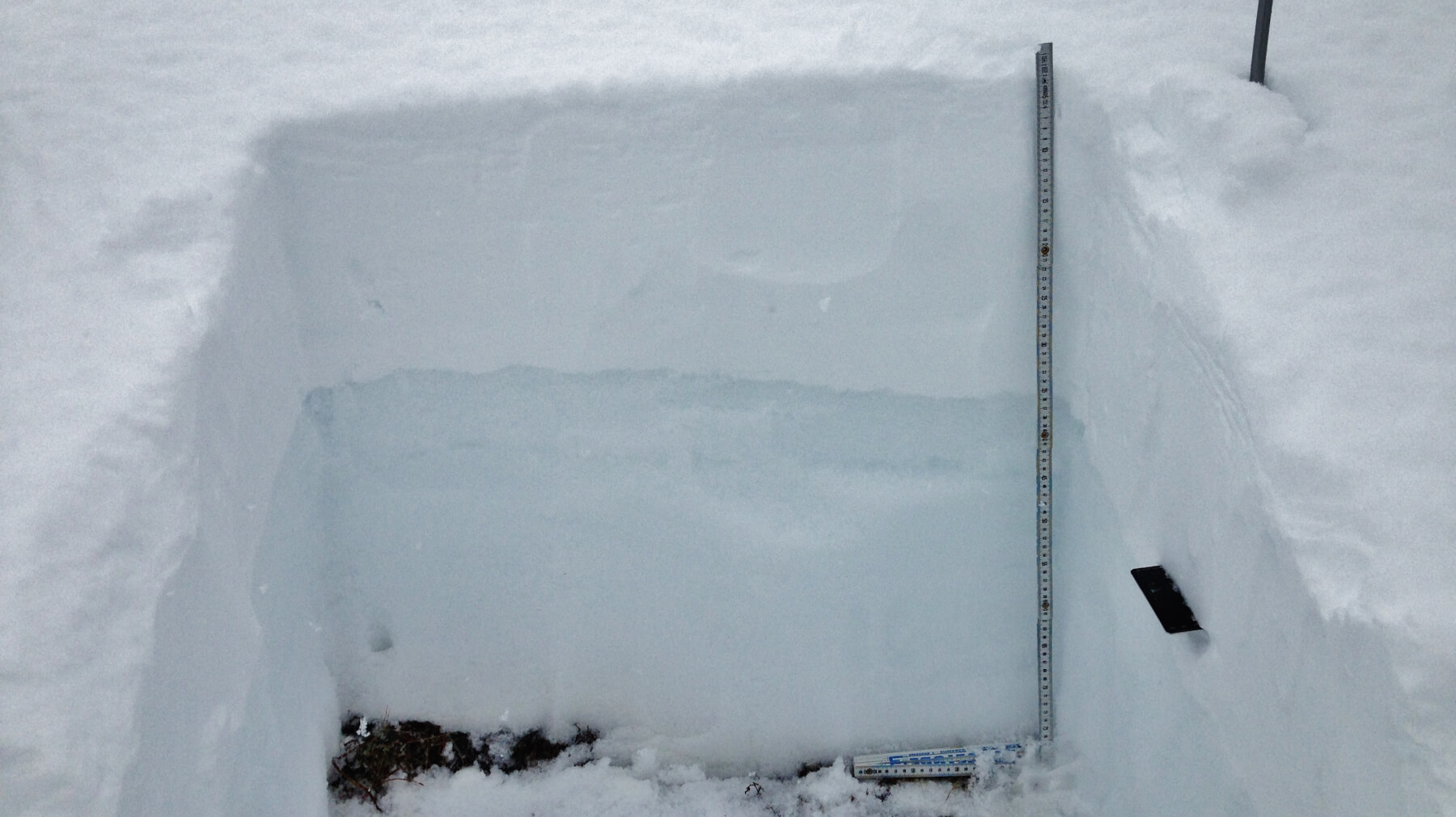 (Above)Â Fresh windslab overlying the darker old snow. Check out the snow profile page linked in the avalanche forecast page for recorded details.
(Above) Fresh windslab overlying the darker old snow. Check out the snow profile page linked in the avalanche forecast page for recorded details.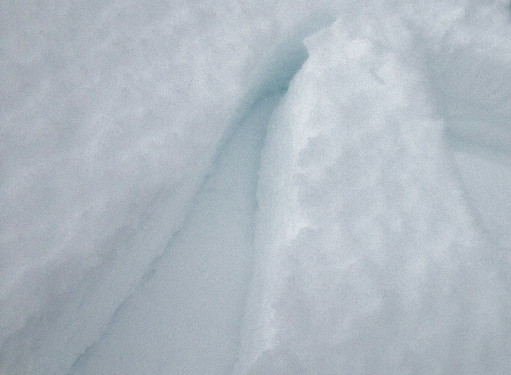 A clean shear during tests within the new windslab indicating a weakness in the snowpack at this location. The shear plane was on a very thin layer of partly decomposed grains which was softer than the surrounding layers.
Comments on this post
Got something to say? Leave a comment


