Hmmm. Nice!!
24th January 2016
Massive snow loss over the last few days. Very patchy snowpack, no defined snow line with broken gullies and runnels of snow extending down to 750 metres. The most extensive areas of snow are on summit flanks. Rockfall and falling ice will be a hazard in the corries and under ridge lines. Briefly getting colder later tomorrow, with some snowfall at higher levels, but forecast milder weather again on Tuesday.
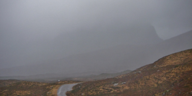
Liathach in there somewhere!
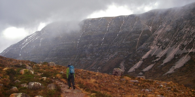
A brief glimpse onto the main ridge of Beinn Eighe
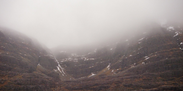
Coire Duibh Bhig, north side of Liathach
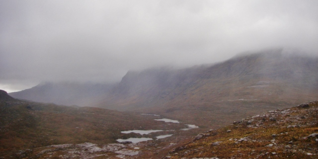
Kind of says it all! The more coastal hills of Beinn Alligin and Beinn Dearg
Comments on this post
Got something to say? Leave a comment


